Barnsley Warren

Gallery (1)
Map
Map
Facts and practical information
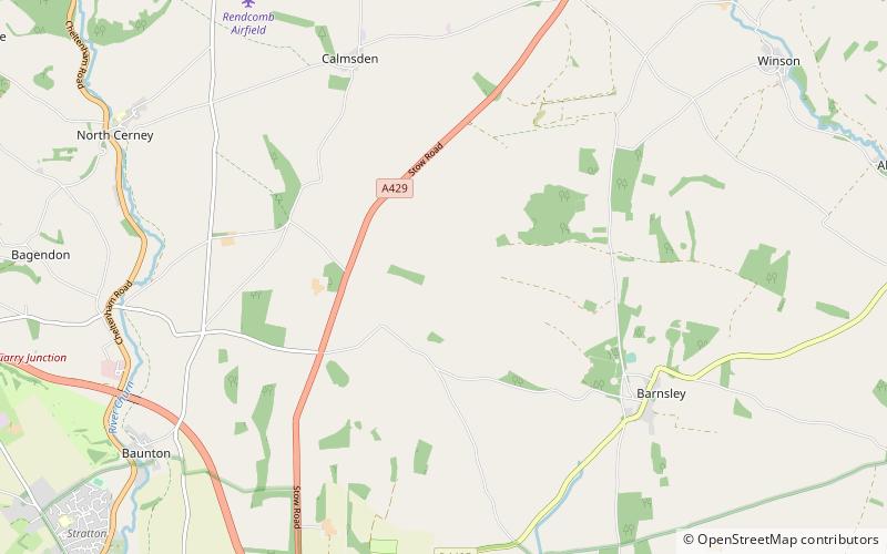
Barnsley Warren is a 61.3-hectare biological Site of Special Scientific Interest in Gloucestershire, notified in 1954 and renotified in 1984. The site is also included in A Nature Conservation Review. It lies in a steep-sided dry valley, east of the A429, northeast of Cirencester in the Cotswolds. The site is listed in the 'Cotswold District' Local Plan 2001-2011 as a Key Wildlife Site. ()
Elevation: 443 ft a.s.l.Coordinates: 51°45'22"N, 1°55'18"W
Location
England
ContactAdd
Social media
Add
Day trips