Arlington Row, Bibury

Gallery (1)
Map
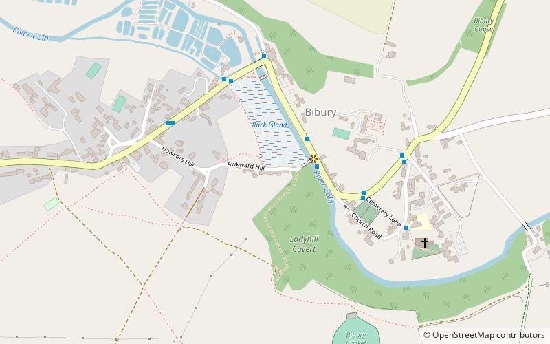
Map
Facts and practical information
Arlington Row at Arlington in the parish of Bibury, Gloucestershire, England was built in the late 14th century as a wool store and converted into weavers houses in the late 17th century. It is a Grade I listed building, owned by the National Trust. ()
Coordinates: 51°45'31"N, 1°50'5"W
Day trips