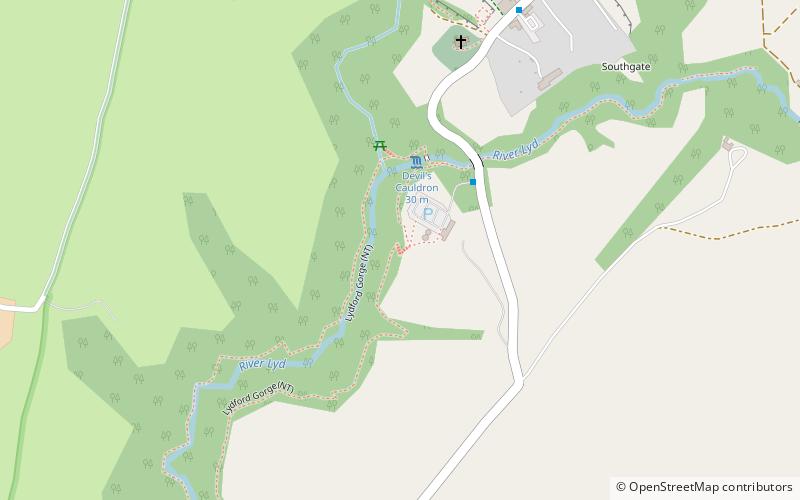
Lydford Gorge, Tavistock
Map

Map

Facts and practical information
Lydford Gorge (address: Lydford Gorge The Stables) is a place located in Tavistock (England kingdom) and belongs to the category of natural attraction, waterfall, park.
It is situated at an altitude of 643 feet, and its geographical coordinates are 50°38'25"N latitude and 4°6'41"W longitude.
Among other places and attractions worth visiting in the area are: Lydford Castle, Dartmoor National Park (forts and castles, 6 min walk), Brat Tor, Lydford (neighbourhood, 53 min walk), Brent Tor, Dartmoor National Park (historic walking areas, 87 min walk).
Elevation: 643 ft a.s.l.Coordinates: 50°38'25"N, 4°6'41"W
Day trips
Lydford Gorge – popular in the area (distance from the attraction)
Nearby attractions include: Lydford Castle, Meldon Viaduct, Brat Tor, High Willhays.


