Mickle Fell, Moor House-Upper Teesdale
Map

Map

Facts and practical information
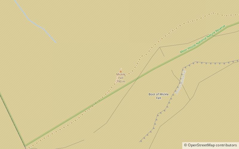
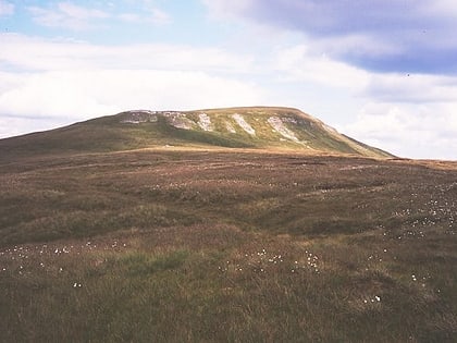
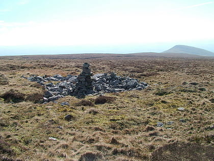
Mickle Fell is the highest mountain in County Durham, with a maximum elevation of 788 m. It forms part of the Pennines, the range of hills and moors running down the middle of Northern England, but lies slightly off the main watershed, about 10 miles south of Cross Fell. After Cross Fell, Mickle Fell is the highest Marilyn within the North Pennines designated Area of Outstanding Natural Beauty. ()
Address
Moor House-Upper Teesdale
ContactAdd
Social media
Add
Day trips
Mickle Fell – popular in the area (distance from the attraction)
Nearby attractions include: High Force, Cauldron Snout, High Cup Gill, Cow Green Reservoir.


