Cow Green Reservoir
Map

Gallery

Facts and practical information
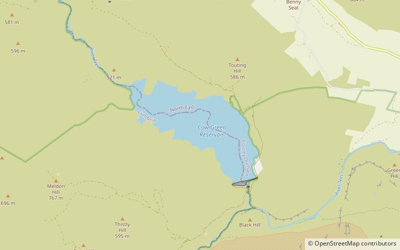
Cow Green Reservoir is a 2-mile long water reservoir forming part of the border between the historic counties of Westmorland and County Durham in northern England, built between 1967 and 1971 to supply the industries of Teesside. ()
Elevation: 1604 ft a.s.l.Coordinates: 54°40'1"N, 2°18'23"W
Location
England
ContactAdd
Social media
Add
Day trips
Cow Green Reservoir – popular in the area (distance from the attraction)
Nearby attractions include: High Force, Cauldron Snout, High Cup Gill, Murton Fell.


