Metropolitan Borough of St Helens, St Helens
Map

Map

Facts and practical information
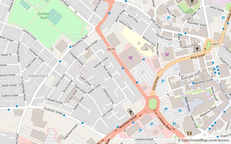
The Metropolitan Borough of St Helens is a local government district with borough status in Merseyside, North West England. The borough is named after its largest settlement, St Helens but also includes neighbouring towns and villages such as Earlestown, Rainhill, Eccleston, Clock Face, Haydock, Billinge, Rainford and Newton-le-Willows. ()
Day trips
Metropolitan Borough of St Helens – popular in the area (distance from the attraction)
Nearby attractions include: Totally Wicked Stadium, Church of St Mary, St Helens Town Hall, Holy Cross Church.
Frequently Asked Questions (FAQ)
Which popular attractions are close to Metropolitan Borough of St Helens?
Nearby attractions include St Helens College, St Helens (7 min walk), The Citadel, St Helens (9 min walk), Church of St Mary, St Helens (9 min walk), St Helens Town Hall, St Helens (10 min walk).
How to get to Metropolitan Borough of St Helens by public transport?
The nearest stations to Metropolitan Borough of St Helens:
Bus
Train
Bus
- St Helens Bus Station (14 min walk)
- Corporation St/St Helens Central • Lines: 329 (17 min walk)
Train
- St Helens Central (17 min walk)


