Stanley Bank Meadow, St Helens
Map
Facts and practical information
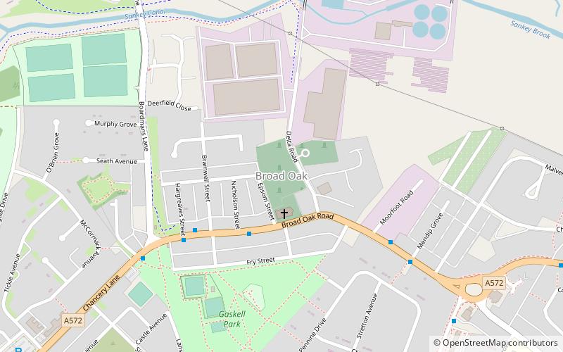
Stanley Bank Meadow is a 14.9 hectare Site of Special Scientific Interest situated 2.8km north-east of St Helens. The site was notified in 1988 due to its biological features which is predominantly damp unimproved neutral grassland, which is a rare habitat in Merseyside. It is also part of a larger area which is a Local Nature Reserve called Stanley Bank. ()
Elevation: 144 ft a.s.l.Coordinates: 53°28'1"N, 2°43'1"W
Address
St Helens
ContactAdd
Social media
Add
Getting there by public transportation
Public transportation stops near this location
- Bus
- Train
 Bus
Bus
- Calculate routeFingerpost/Jackson St 26 min walk
- Calculate routeAshcroft St/Firesation 27 min walk
- Calculate routeCorporation St/Atlas Court 27 min walk
- Calculate routeSt Helens Central 29 min walk
Day trips


Frequently Asked Questions (FAQ)
Which popular attractions are close to Stanley Bank Meadow?
Nearby attractions include Merton Tyres, St Helens (11 min walk), Carr Mill Dam, St Helens (18 min walk).
How to get to Stanley Bank Meadow by public transport?
The nearest stations to Stanley Bank Meadow:
Bus
Train
Bus
- Fingerpost/Jackson St • Lines: 329 (26 min walk)
- Ashcroft St/Firesation • Lines: 329 (27 min walk)
Train
- St Helens Central (29 min walk)