Thanet & District Reform Synagogue, Ramsgate

Map
Facts and practical information
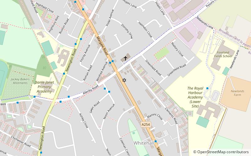
Thanet & District Reform Synagogue, which is associated with the Movement for Reform Judaism, is a Reform Judaism congregation at 293A Margate Road in Ramsgate in Thanet, Kent, England. Founded in 1985, it is also known as Etz Chaim, a name it shares with its journal. ()
Coordinates: 51°20'60"N, 1°24'17"E
Day trips
Thanet & District Reform Synagogue – popular in the area (distance from the attraction)
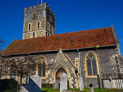
Nearby attractions include: Westwood Cross, St Laurence's Church, Granville Theatre, Manston Golf Centre.
Frequently Asked Questions (FAQ)
How to get to Thanet & District Reform Synagogue by public transport?
The nearest stations to Thanet & District Reform Synagogue:
Bus
Train
Bus
- St Mark's Church • Lines: 34, Thanet Loop (2 min walk)
- Ashley Close • Lines: 34, Thanet Loop (5 min walk)
Train
- Ramsgate (16 min walk)
- Dumpton Park (24 min walk)


