Manston Golf Centre, Manston

Gallery (1)
Map
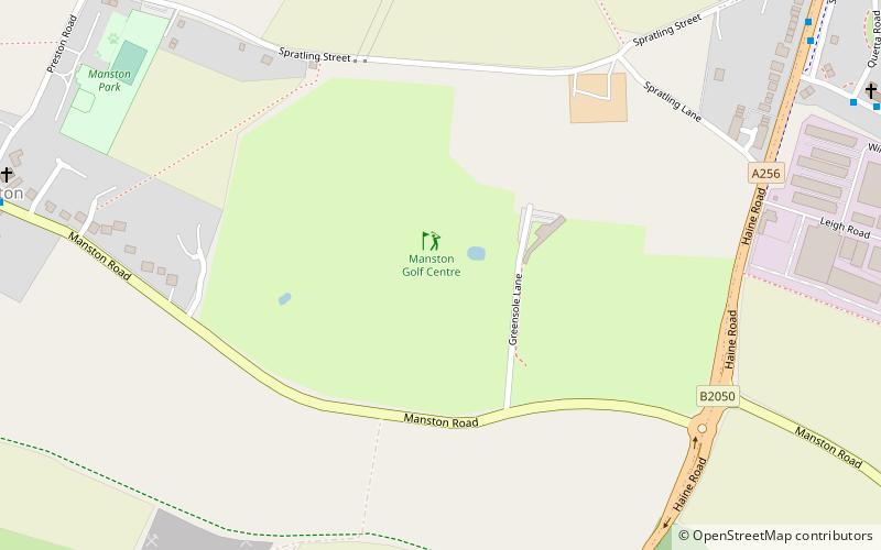
Map
Facts and practical information
Manston Golf Centre (address: Greensole Lane) is a place located in Manston (England kingdom) and belongs to the category of golf.
It is situated at an altitude of 167 feet, and its geographical coordinates are 51°20'42"N latitude and 1°22'42"E longitude.
Among other places and attractions worth visiting in the area are: St Laurence's Church, Ramsgate (church, 29 min walk), Thanet & District Reform Synagogue, Ramsgate (synagogue, 31 min walk), Westwood Cross, Broadstairs (shopping, 31 min walk).
Coordinates: 51°20'42"N, 1°22'42"E
Day trips