An Socach, Cairngorms National Park
Map
Gallery
Facts and practical information
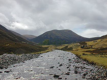
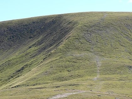
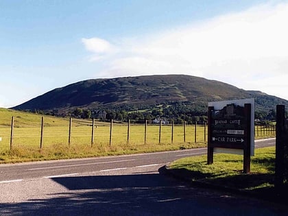
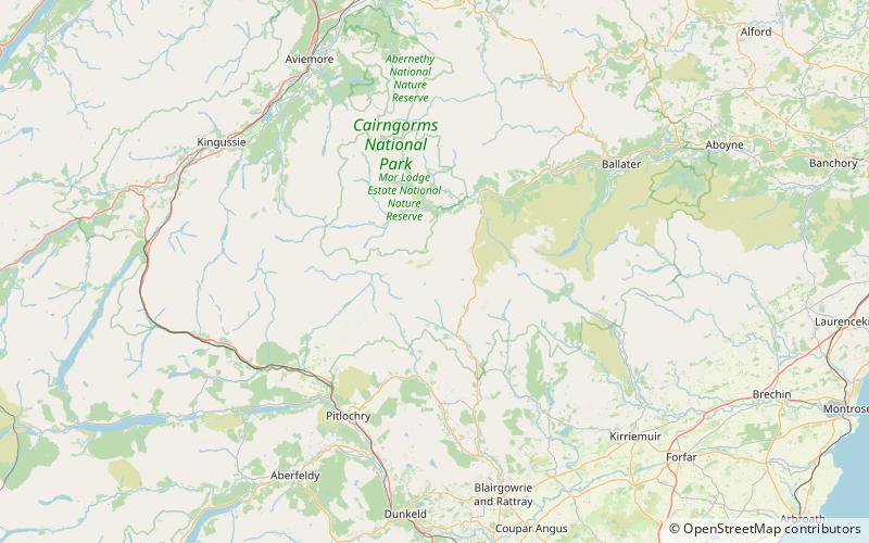
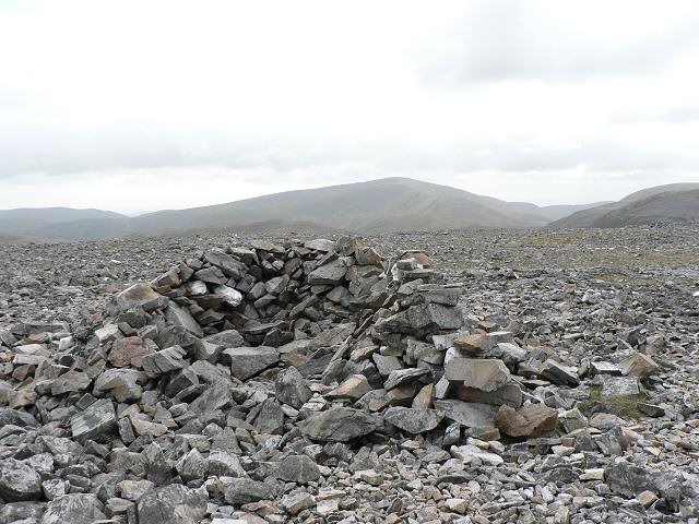
An Socach is a Scottish mountain situated some three miles west of the A93 road from Perth to Braemar. It is located at grid ref. 080800 on Ordnance Survey sheet 43. The summit altitude is 944 m. The name may derive from the Gaelic Soc, meaning the snout or beak, leading to the projecting place by analogy with the shape of a snout. Other sources state that it in fact means 'the sow'. ()
Address
Cairngorms National Park
ContactAdd
Social media
Add
Day trips
An Socach – popular in the area (distance from the attraction)
Nearby attractions include: Glenshee Ski Centre, Beinn Iutharn Mhòr, Glas Maol, Ben Gulabin.


