Càrn a' Gheòidh, Cairngorms National Park
#65 among attractions in Cairngorms National Park
Facts and practical information
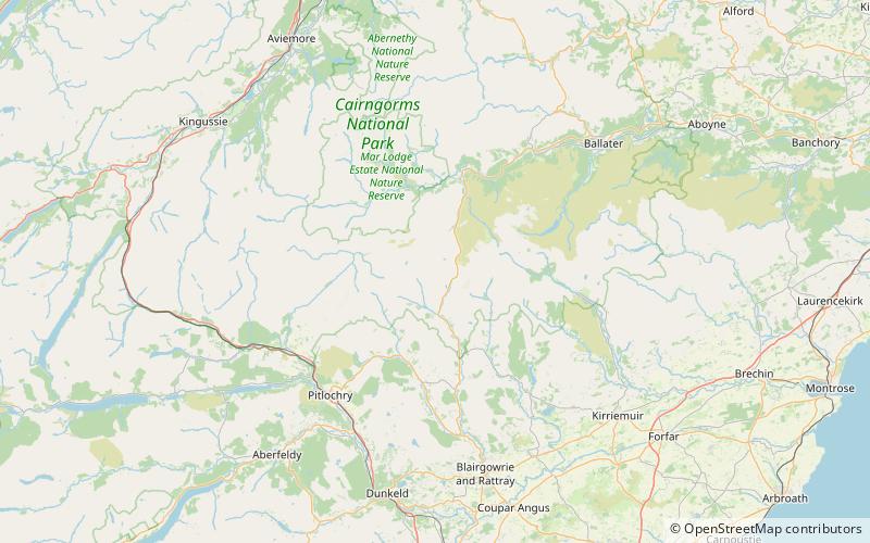
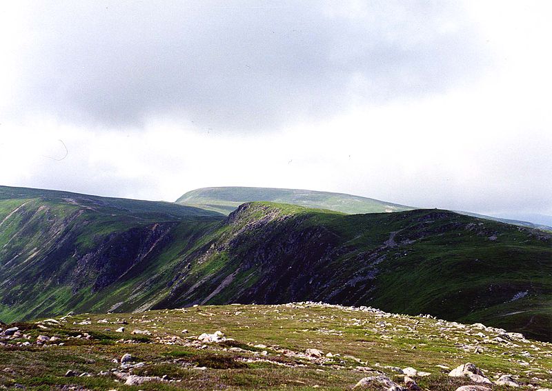
Càrn a' Gheòidh is a Scottish mountain situated 15 km south of the town of Braemar. Its summit stands on the border between the council areas of Perth and Kinross and Aberdeenshire. ()
Cairngorms National Park United Kingdom
Càrn a' Gheòidh – popular in the area (distance from the attraction)
Nearby attractions include: Glenshee Ski Centre, Glen Shee, Beinn Iutharn Mhòr, Glas Maol.
 Winter sport, Outdoor activities, Park
Glenshee Ski Centre, Braemar
52 min walk • Nestled in the breathtaking landscape of the Scottish Highlands, Glenshee Ski Centre stands as Scotland's largest ski area, offering a winter sports haven for enthusiasts and families alike. Located near the town of Braemar, Glenshee provides a diverse range of slopes...
 Nature, Natural attraction, Valley
Glen Shee, Cairngorms National Park
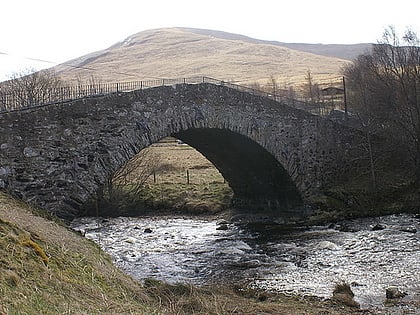
133 min walk • Glen Shee is a glen in eastern Perthshire, Scotland. Shee Water flows through the glen. The head of the glen, where Gleann Taitneach and Glen Lochsie meet, is approximately 2 km north-west of the Spittal of Glenshee; it then runs south-east to Bridge of Cally where it merges with Strathardle to form Glen Ericht.
 Mountain
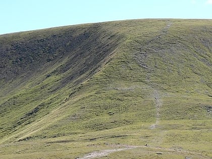
Beinn Iutharn Mhòr, Cairngorms National Park
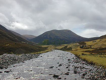
105 min walk • Beinn Iutharn Mhor is a mountain in the Grampian Mountains of Scotland. It lies north of Glen Shee on the Aberdeenshire and Perthshire border. A steep sided mountain in an otherwise rolling area of highland known as the Mounth, it is usually climbed from its northern Glen Ey side.
 Nature, Natural attraction, Mountain
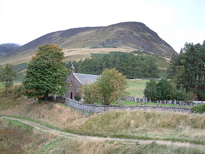
Glas Maol, Cairngorms National Park
95 min walk • Glas Maol is a mountain in the southeastern part of the Highlands of Scotland. The broad, flat summit is divided between the council area of Aberdeenshire, Angus and Perth and Kinross, though the highest point lies wholly within Angus; indeed Glas Maol is the highest point in that council area.
 Mountain
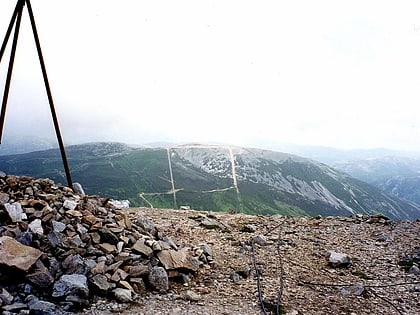
Ben Gulabin, Cairngorms National Park
72 min walk • Ben Gulabin is a mountain in the Mounth area of the Grampian Mountains in Scotland. It is located on the eastern side of the main A93 road between Blairgowrie and Braemar in upper Glen Shee.
 Nature, Natural attraction, Mountain
Càrn Aosda, Cairngorms National Park
58 min walk • Càrn Aosda is a Scottish mountain situated 12.5 km south of the town of Braemar, in the county of Aberdeenshire. It stands near the summit of the Cairnwell Pass on the A93 road, in the midst of the Glenshee Ski Centre.
 Mountain
Càrn Bhac
136 min walk • Carn Bhac is a mountain in the Grampian Mountains of Scotland. It lies north of the village of Inverey in Aberdeenshire, in the southern Mounth area. One of quieter peaks in the area, it offers a great chance for solitude and reflection. Climbs usually start from Inverey.
 Nature, Natural attraction, Mountain
The Cairnwell, Cairngorms National Park
51 min walk • The Cairnwell is a mountain in the Eastern Highlands of Scotland, south of Braemar. It is often considered to be one of the most spoiled of the Munros, due to the Glenshee Ski Centre which covers the eastern slope of the mountain.
 Nature, Natural attraction, Mountain
Carn an Tuirc, Cairngorms National Park
122 min walk • Carn an Tuirc is a mountain in the Grampian Mountains of Scotland, located about two miles from the Glenshee Ski Centre near Braemar.
 Nature, Natural attraction, Mountain
An Socach, Cairngorms National Park
68 min walk • An Socach is a Scottish mountain situated some three miles west of the A93 road from Perth to Braemar. It is located at grid ref. 080800 on Ordnance Survey sheet 43. The summit altitude is 944 m.
 Nature, Natural attraction, Lake
Loch Callater, Cairngorms National Park
167 min walk • Loch Callater is an upland, freshwater loch lying approximately 5 miles south of Braemar, Scotland. The loch trends in a northwest to southeast direction and is surrounded on both sides by steep hills. It is approximately 1.6 km in length. The loch was surveyed on 11 July 1905 by T.N. Johnston and L.W.
