Glyder Fach, Snowdonia National Park
Map

Gallery

Facts and practical information
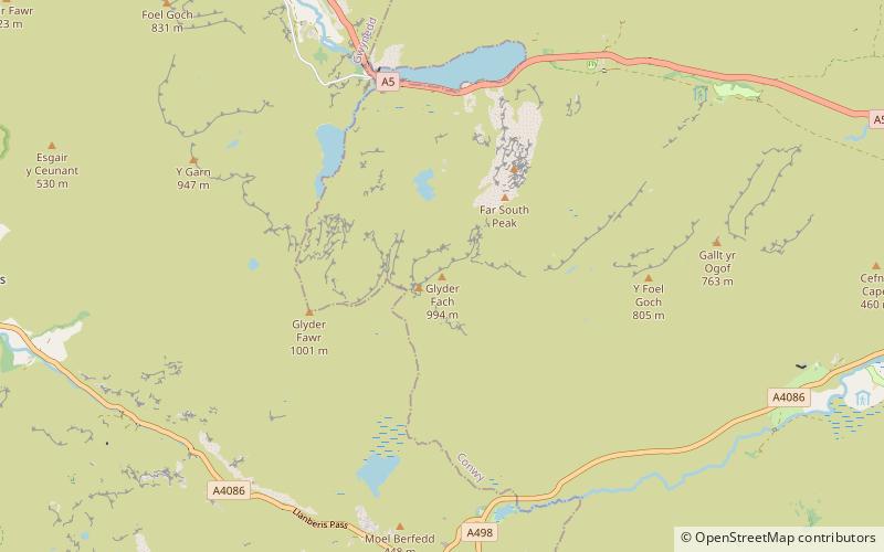
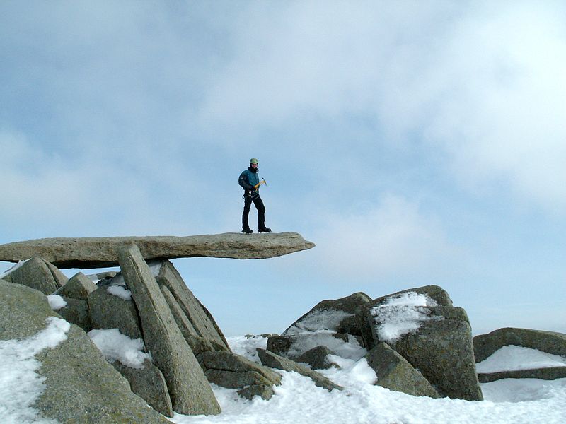
Glyder Fach is a mountain in Snowdonia, north-west Wales, and is the second highest of the Glyderau and the sixth highest in Wales. Routes to the summit lead from Tryfan and Bristly Ridge to the north, via Glyder Fawr from Pen-y-Pass to the south, and along the Glyder ridge to the east, towards Capel Curig. It is a popular spot for climbers. ()
Elevation: 3261 ftProminence: 246 ftCoordinates: 53°6'17"N, 4°0'30"W
Address
Snowdonia National Park
ContactAdd
Social media
Add
Day trips
Glyder Fach – popular in the area (distance from the attraction)
Nearby attractions include: Llyn Idwal, Tryfan, Cwm Idwal, Glyder Fawr.
Frequently Asked Questions (FAQ)
Which popular attractions are close to Glyder Fach?
Nearby attractions include Castell y Gwynt, Snowdonia National Park (5 min walk), Llyn Bochlwyd, Snowdonia National Park (13 min walk), Tryfan, Snowdonia National Park (22 min walk), Glyder Fawr, Snowdonia National Park (23 min walk).


