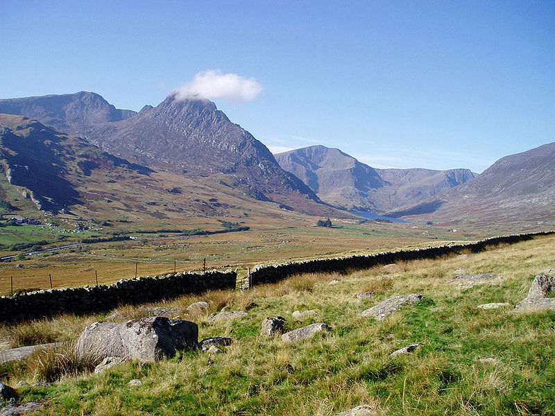
Glyderau, Snowdonia National Park
Map

Gallery

Facts and practical information
The Glyderau are a mountain group in Snowdonia, North Wales. The name derives from the highest peaks in the range, Glyder Fawr and Glyder Fach. According to Sir Ifor Williams, the word "Glyder" derives from the Welsh word "Cludair", meaning a heap of stones. ()
Maximum elevation: 3283 ftCoordinates: 53°6'3"N, 4°1'47"W
Address
Snowdonia National Park
ContactAdd
Social media
Add
Day trips
Glyderau – popular in the area (distance from the attraction)
Nearby attractions include: Llyn Idwal, Cwm Idwal, Glyder Fach, Glyder Fawr.
Frequently Asked Questions (FAQ)
Which popular attractions are close to Glyderau?
Nearby attractions include Glyder Fawr, Snowdonia National Park (2 min walk), Devil's Appendix, Snowdonia National Park (17 min walk), Castell y Gwynt, Snowdonia National Park (20 min walk), Cwm Idwal, Snowdonia National Park (23 min walk).


