Mynydd Twyn-glas
Map

Map

Facts and practical information
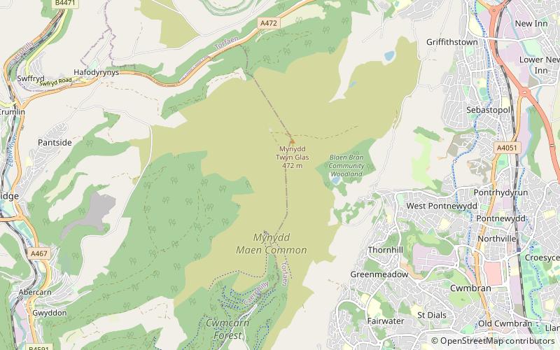
Mynydd Twyn-glas is a sprawling 472-metre-high mountain extending into Caerphilly and Torfaen county boroughs in South Wales. It lies southwest of Pontypool, west of Cwmbran and east of Newbridge and taking the form of a rolling plateau the margins of which are defined by steep slopes, many of which are cloaked with conifer plantations. A broad shoulder extending south from the summit is known as Mynydd Maen whilst to the north is Mynydd Llwyd. The thickly afforested northern slopes of the hill drop down steeply into Cwm y Glyn. ()
Elevation: 1549 ftProminence: 830 ftCoordinates: 51°40'7"N, 3°4'28"W
Location
Wales
ContactAdd
Social media
Add
Day trips
Mynydd Twyn-glas – popular in the area (distance from the attraction)
Nearby attractions include: Cwmbran Centre, Cwmbran Stadium, Pontypool Park, Boating Lake Park.


