Sugar Loaf
Map

Map

Facts and practical information
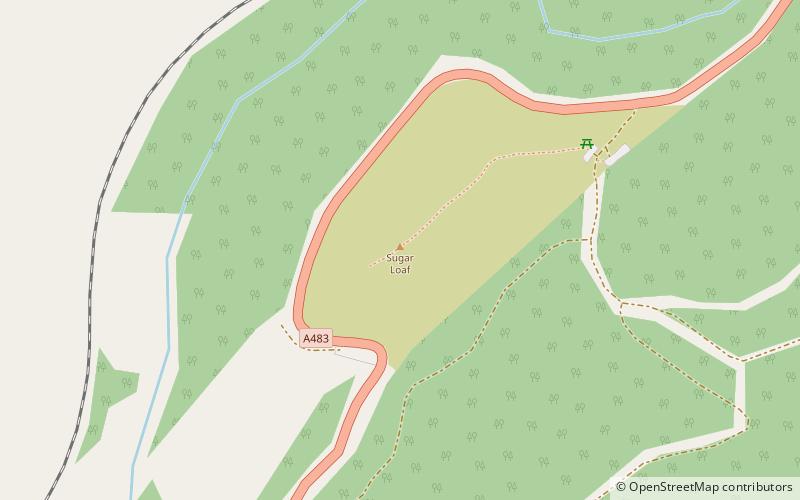
Sugar Loaf, sometimes called The Sugar Loaf, is a prominent hill in Carmarthenshire, Wales beside the A483 trunk road some four miles south-west of Llanwrtyd Wells. It is a popular viewpoint and picnic spot within easy reach on foot from the roadside car parks to the northeast and to the south. There is a stop on the nearby Heart of Wales Line called Sugar Loaf railway station. ()
Elevation: 1955 ftProminence: 1348 ftCoordinates: 52°4'15"N, 3°42'8"W
Location
Wales
ContactAdd
Social media
Add
Day trips
Sugar Loaf – popular in the area (distance from the attraction)
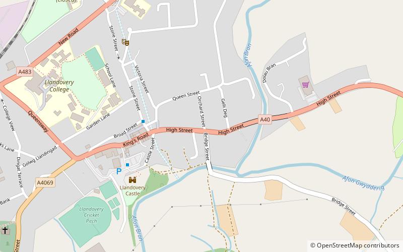
Nearby attractions include: Llandovery Castle, Llyn Brianne, Church of St Michael, Tabernacle Chapel.


