Dun Skeig

Gallery (1)
Map
Map
Facts and practical information
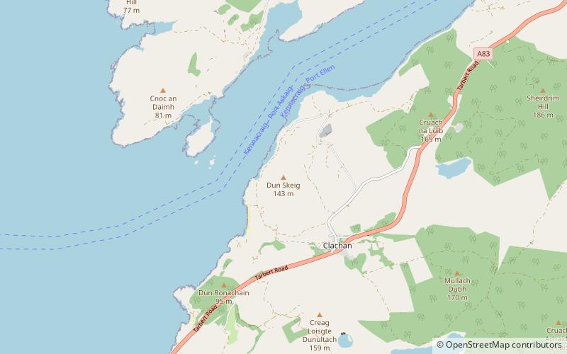
Dun Skeig is an oval Iron Age dun complex which is perched atop a rocky outcropping about 40 metres above sea level overlooking West Loch Tarbert in Kintyre, Argyll and Bute, Scotland, about 1 kilometre northwest of the village of Clachan. ()
Coordinates: 55°45'22"N, 5°34'30"W
Location
Scotland
ContactAdd
Social media
Add
Day trips
Dun Skeig – popular in the area (distance from the attraction)
Nearby attractions include: Dùn a' Choin Duibh.
