St Joseph's Church, Newcastle upon Tyne
Map

Map

Facts and practical information
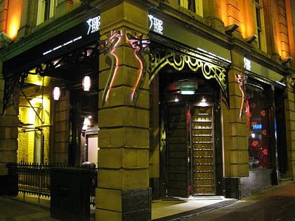
St Joseph's Church is a Catholic church in Gateshead, England. ()
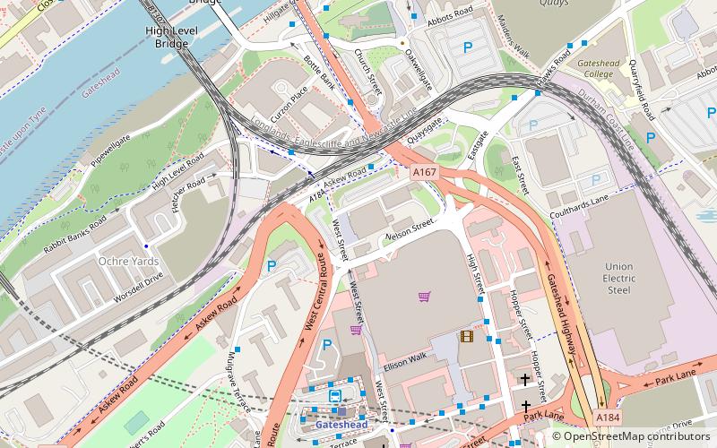
Coordinates: 54°57'51"N, 1°36'14"W
Day trips
St Joseph's Church – popular in the area (distance from the attraction)
Nearby attractions include: Tup Tup Palace, Baltic Centre for Contemporary Art, Gateshead Millennium Bridge, Sage Gateshead.
Frequently Asked Questions (FAQ)
Which popular attractions are close to St Joseph's Church?
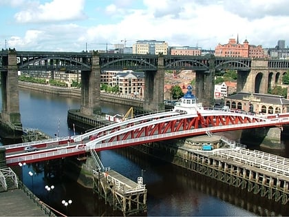
Nearby attractions include St Mary's Heritage Centre, Newcastle upon Tyne (5 min walk), Newcastle town wall, Newcastle upon Tyne (6 min walk), Sage Gateshead, Newcastle upon Tyne (7 min walk), High Level Bridge, Newcastle upon Tyne (7 min walk).
How to get to St Joseph's Church by public transport?
The nearest stations to St Joseph's Church:
Bus
Light rail
Train
Bus
- Wellington Street • Lines: 97 (3 min walk)
- Gateshead Interchange • Lines: 29, 97, X12, X9 (5 min walk)
Light rail
- Gateshead • Lines: Green, Yellow (5 min walk)
- Central Station • Lines: Green, Yellow (16 min walk)
Train
- Manors (15 min walk)
- Newcastle (15 min walk)


