Barton and Tredworth, Gloucester
Map
Map

Facts and practical information
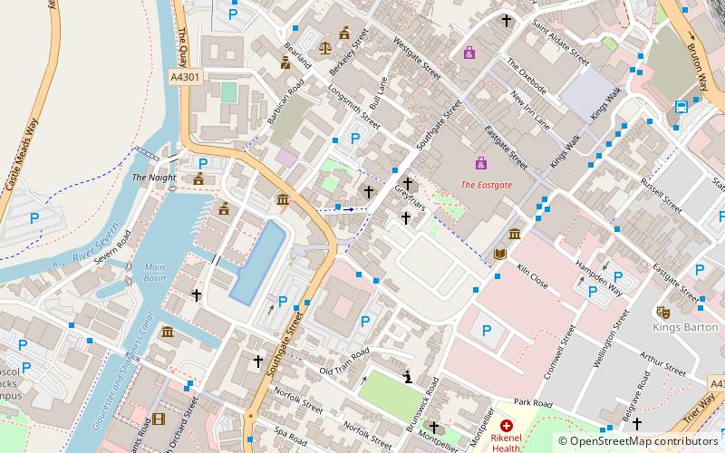
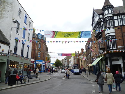
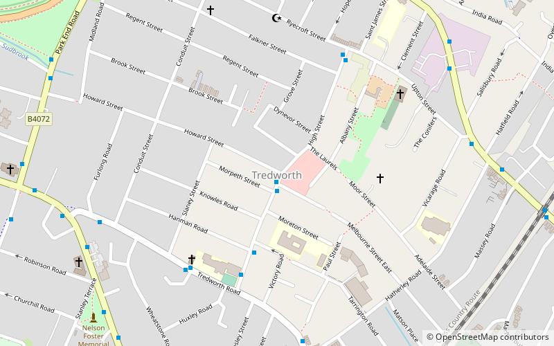
Barton and Tredworth is an area of Gloucester, England that lies just outside the Eastgate of the city and has a population of 10,953 at the 2011 Census. Up to 45 different communities live in the area and as many as 50 languages are spoken here. ()
Coordinates: 51°51'17"N, 2°14'12"W
Day trips
Barton and Tredworth – popular in the area (distance from the attraction)
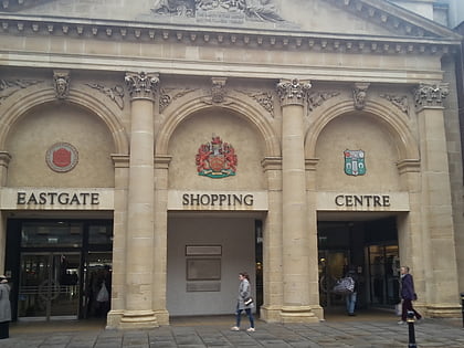
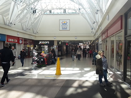
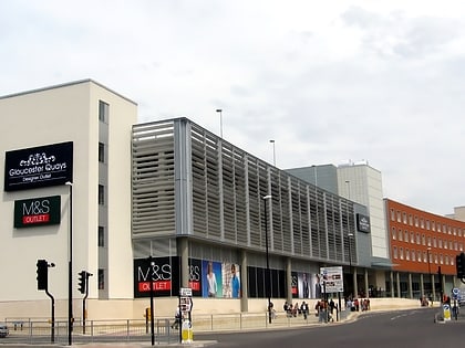
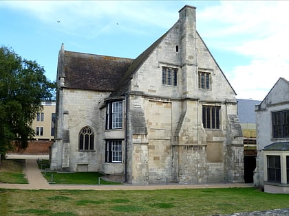
Nearby attractions include: Eastgate Shopping Centre, Kings Walk Shopping Centre, Gloucester Quays Outlet, Gloucester Waterways Museum.
Frequently Asked Questions (FAQ)
Which popular attractions are close to Barton and Tredworth?
Nearby attractions include Barton Street, Gloucester (2 min walk), St Paul and St Stephen's Church, Gloucester (9 min walk), Tredworth Road Cemetery, Gloucester (12 min walk), The Kings Theatre Gloucester, Gloucester (15 min walk).
How to get to Barton and Tredworth by public transport?
The nearest stations to Barton and Tredworth:
Train
Train
- Gloucester (20 min walk)

