Damflask Reservoir, Peak District
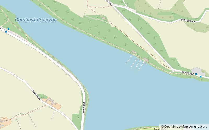
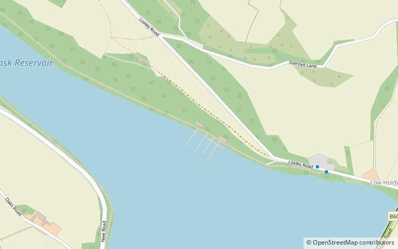
Map

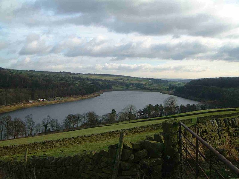
Gallery

Facts and practical information
Damflask Reservoir is situated at grid reference SK277907 five miles west of the centre of Sheffield in the Loxley valley close to the village of Low Bradfield and within the city's boundaries. The hamlet of Stacey Bank is located to the east. The reservoir has a capacity of 4,250.9 million litres and has a surface area of 47 hectares with a maximum depth of 27 metres. The dam wall is approximately 400 metres wide with a height of 28 metres. ()
Maximum depth: 89 ftElevation: 522 ft a.s.l.Coordinates: 53°24'52"N, 1°35'4"W
Address
Peak District
ContactAdd
Social media
Add
Day trips
Damflask Reservoir – popular in the area (distance from the attraction)
Nearby attractions include: Church of St Nicholas, Agden Reservoir, Monastery of The Holy Spirit, City of Sheffield Rowing Club.
Frequently Asked Questions (FAQ)
How to get to Damflask Reservoir by public transport?
The nearest stations to Damflask Reservoir:
Bus
Bus
- New Road/Oaks Lane • Lines: 62 (7 min walk)
- Loxley Road/New Road • Lines: 61 (9 min walk)


