Agden Reservoir, Peak District
Map

Gallery

Facts and practical information
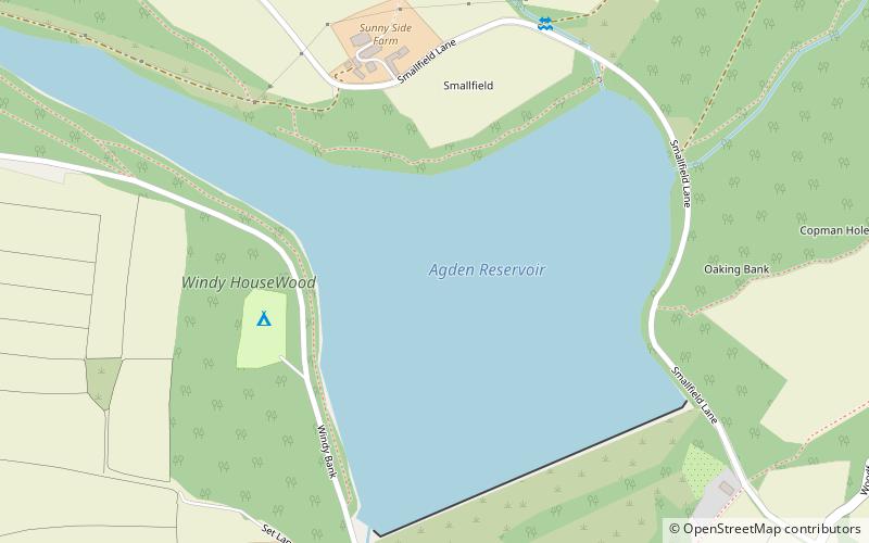
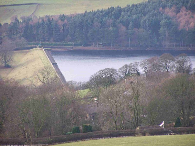
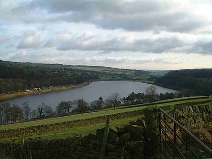
Agden Reservoir is a water storage reservoir, situated at grid reference SK260925, 6.5 miles west of the centre of Sheffield, South Yorkshire, England. It is owned by Yorkshire Water / Kelda Group. The reservoir covers an area of 25 hectares and has a capacity of 559 million gallons of water, the dam wall has a width of approximately 380 feet with a height of 100 feet. 'Agden' means 'Valley of the Oak Trees'. ()
Elevation: 656 ft a.s.l.Coordinates: 53°25'45"N, 1°36'39"W
Address
Peak District
ContactAdd
Social media
Add
Day trips
Agden Reservoir – popular in the area (distance from the attraction)
Nearby attractions include: Church of St Nicholas, Damflask Reservoir, Bradfield Dale, Dale Dike Reservoir.
Frequently Asked Questions (FAQ)
How to get to Agden Reservoir by public transport?
The nearest stations to Agden Reservoir:
Bus
Bus
- Fair House Lane/Annet Lane • Lines: 61, 62 (11 min walk)
- Woodfall Lane/Loxley Road • Lines: 62 (14 min walk)


