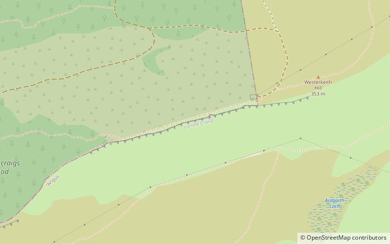
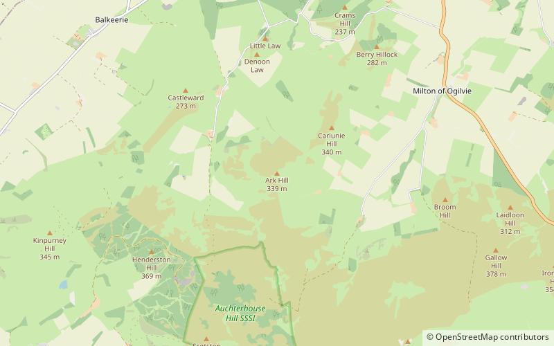
Ark Hill

Gallery (1)
Map
Map
Facts and practical information
Ark Hill is a mountainous landform within the Sidlaw Hills in Angus, Scotland. This location has been proposed as a windfarm for generating renewable electrical power. Approximately two kilometres to the north is the village of Eassie noted for the presence of the Eassie Stone; this carved Pictish stone is dated prior to the Early Middle Ages. ()
Elevation: 1112 ftCoordinates: 56°34'15"N, 3°2'51"W
Day trips