Bishop Middleham Quarry

Gallery (2)
Map

Map
Gallery
Facts and practical information
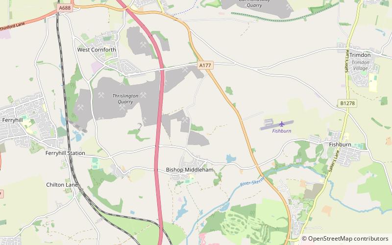
Bishop Middleham Quarry is a disused quarry, about 4 kilometres north-west of Sedgefield, County Durham, England. Quarry-working here ceased in 1934, and the site has since been colonised by vegetation. The underlying rock is Magnesian Limestone and this has had a strong influence in determining the range of plant and animal communities now found there. ()
Elevation: 371 ft a.s.l.Coordinates: 54°41'14"N, 1°29'13"W
Location
England
ContactAdd
Social media
Add
Day trips