Wingate Quarry

Gallery (1)
Map
Map
Facts and practical information
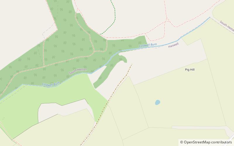
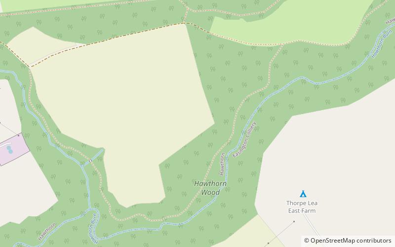
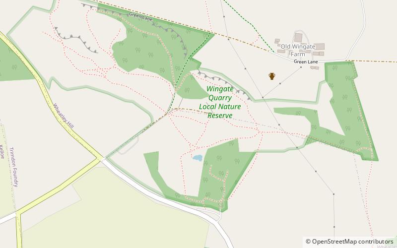
Wingate Quarry is a biological Site of Special Scientific Interest in the County Durham district of east County Durham, England. Part of the site is also a Local Nature Reserve It is a disused quarry located just south of the village of Wheatley Hill. ()
Established: 1984 (42 years ago)Elevation: 443 ft a.s.l.Coordinates: 54°43'50"N, 1°25'16"W
Day trips