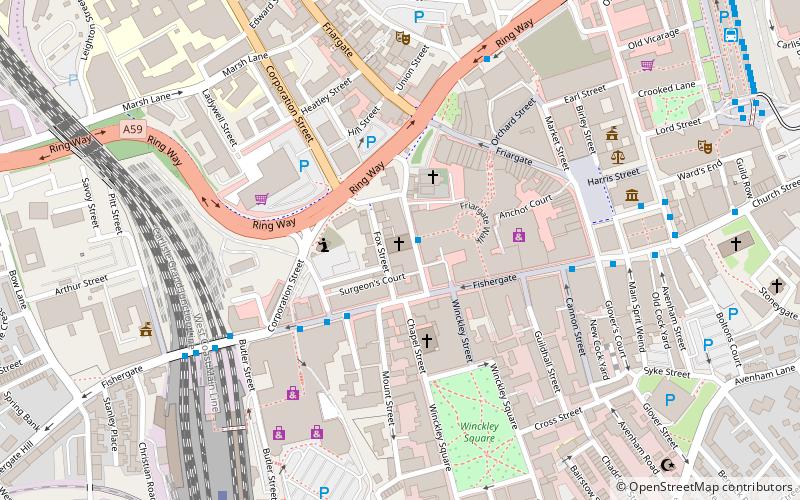
Preston Central Methodist Church, Preston
Map

Map

Facts and practical information
Preston Central Methodist Church is in Lune Street, Preston, Lancashire, England. It is an active Methodist church in the Preston Ribble Methodist Circuit, and the Lancashire district. The church is recorded in the National Heritage List for England as a designated Grade II listed building. ()
Completed: 1818 (208 years ago)Coordinates: 53°45'30"N, 2°42'12"W
Day trips
Preston Central Methodist Church – popular in the area (distance from the attraction)
Nearby attractions include: Harris Museum, St George's Shopping Centre, Covered Market, Fishergate Shopping Centre.
Frequently Asked Questions (FAQ)
Which popular attractions are close to Preston Central Methodist Church?
Nearby attractions include St Wilfrid's Church, Preston (2 min walk), Church of St George the Martyr, Preston (2 min walk), Fishergate Baptist Church, Preston (3 min walk), Winckley Square, Preston (5 min walk).
How to get to Preston Central Methodist Church by public transport?
The nearest stations to Preston Central Methodist Church:
Bus
Train
Bus
- Church Street Lava/Ignite;Stop G • Lines: 119 (6 min walk)
- Church Street: J • Lines: 109, 112, 125, 153 (8 min walk)
Train
- Preston (7 min walk)


