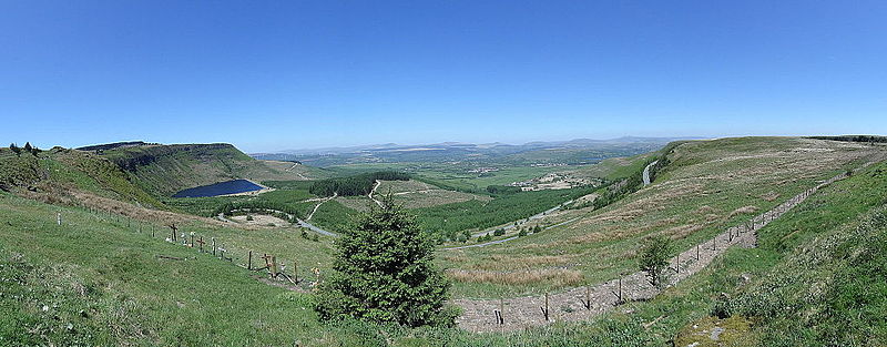
Craig y Llyn

Gallery (3)
Map
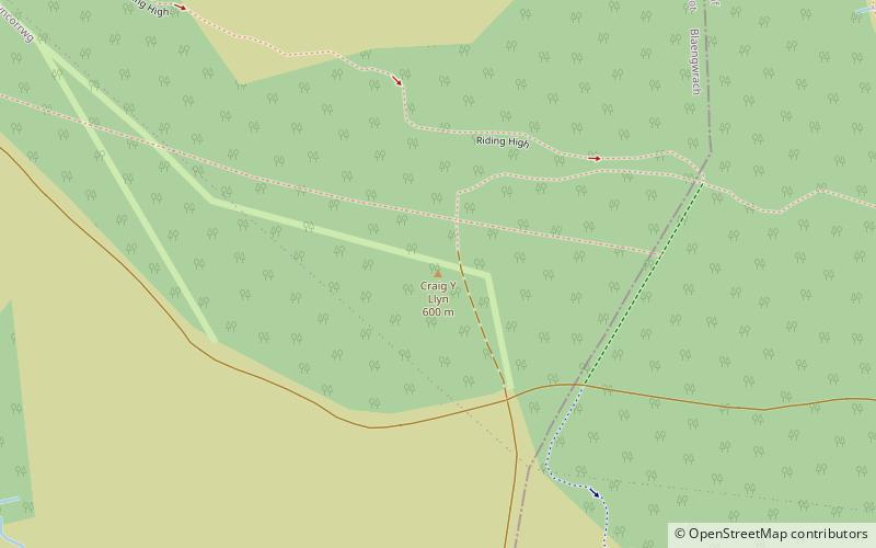
Map
Gallery
Facts and practical information
Craig y Llyn is a mountain situated to the south of the village of Rhigos in the Cynon Valley on the south side of the upper Vale of Neath and north of the Rhondda Valleys in South Wales; it is the highest point in the traditional county of Glamorgan, and the South Wales Valleys. ()
Elevation: 1969 ftProminence: 1286 ftCoordinates: 51°42'59"N, 3°35'2"W
Location
Wales
ContactAdd
Social media
Add
Day trips