Moel Penderyn, Brecon Beacons
#40 among attractions in Brecon Beacons


Facts and practical information
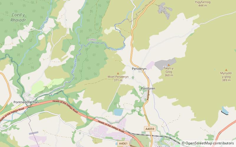
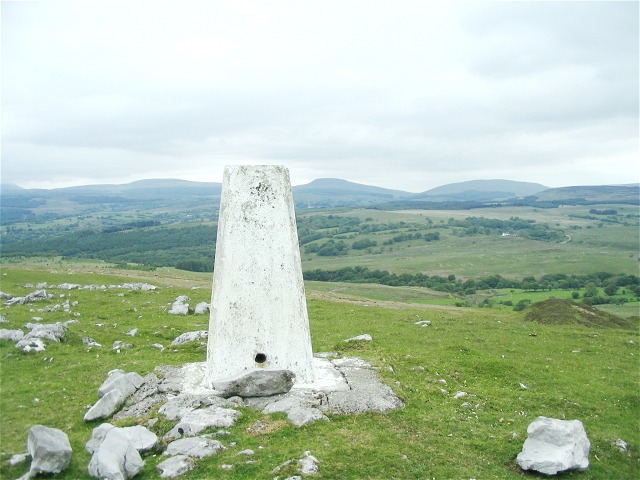
Moel Penderyn is a hill on the edge of Penderyn village, in the Brecon Beacons National Park in the county borough of Rhondda Cynon Taff, south Wales. It also appeared on older maps as 'Y Foel Penderyn'. Its summit at 371m is marked by a trig point. ()
Brecon Beacons United Kingdom
Moel Penderyn – popular in the area (distance from the attraction)
Nearby attractions include: Porth yr Ogof, Llyn Fawr, Craig y Llyn, Dinas Rock.
 Nature, Natural attraction, Cave
Porth yr Ogof, Brecon Beacons
62 min walk • Porth yr Ogof is a cave located near the village of Ystradfellte, near the southern boundary of the Brecon Beacons National Park in Wales.
 Lake, Archaeological site
Llyn Fawr
90 min walk • Llyn Fawr is a reservoir that occupies one of a series glacial cirques that form the northern escarpment of the South Wales Coalfield uplands, overlooking the heads of the Vale of Neath and the Cynon Valley, South Wales.
 Nature, Natural attraction, Mountain
Craig y Llyn
102 min walk • Craig y Llyn is a mountain situated to the south of the village of Rhigos in the Cynon Valley on the south side of the upper Vale of Neath and north of the Rhondda Valleys in South Wales; it is the highest point in the traditional county of Glamorgan, and the South Wales Valleys.
 Climbing
Dinas Rock, Brecon Beacons
41 min walk • Dinas Rock is a high promontory of Carboniferous Limestone which rises between the Afon Mellte and its left-bank tributary, the Afon Sychryd on the border between the county of Powys and the county borough of Neath Port Talbot in south Wales.
 Memorial
Maen Madoc, Brecon Beacons
117 min walk • The Maen Madoc or Maen Madog stone is a menhir which lies adjacent to the Roman road Sarn Helen that runs across the Brecon Beacons in what was a key area of Roman Wales, about one mile north of Ystradfellte. It stands approximately 10 feet high.
 Nature, Natural attraction, Waterfall
Waterfall Country, Neath
63 min walk • Waterfall Country is an English name often given to the Vale of Neath in South Wales. The tourist area around the head of valley has an unusually large number of publicly accessible waterfalls.
 Park
ParkDare Valley Country Park, Aberdare
99 min walk • Dare Valley Country Park is a public park in Wales. It lies near the village of Cwmdare and the town of Aberdare, Cynon Valley, in Rhondda Cynon Taff, South Wales. It comprises 500 acres of woodlands, pasture and moorland mountainside. It is maintained by the local Council, Rhondda Cynon Taf.
 Park
ParkFforest Fawr Geopark
63 min walk • Fforest Fawr Geopark is a Geopark in the Brecon Beacons National Park, south Wales. It is the first designated Geopark in Wales having gained membership of both the European Geoparks Network and the UNESCO-assisted Global Network of National Geoparks in October 2005.
 Church
St Cadoc's Church
117 min walk • St. Cadoc's Church is a Church in Wales church in Glynneath, Wales. It is located in the grounds of the now derelict Aberpergwm House for which it was an estate church.
 Nature, Natural attraction, Mountain
Mynydd-y-glog, Brecon Beacons
69 min walk • Mynydd-y-glog is a hill just east of the village of Penderyn in the northern corner of the county borough of Rhondda Cynon Taff in south Wales. It lies within the Brecon Beacons National Park and Fforest Fawr Geopark. Its summit plateau rises to a height of 389m / 1277 ft at OS grid ref SN 982088, a spot marked by a trig point.
 Nature, Natural attraction, Mountain
Cadair Fawr, Brecon Beacons
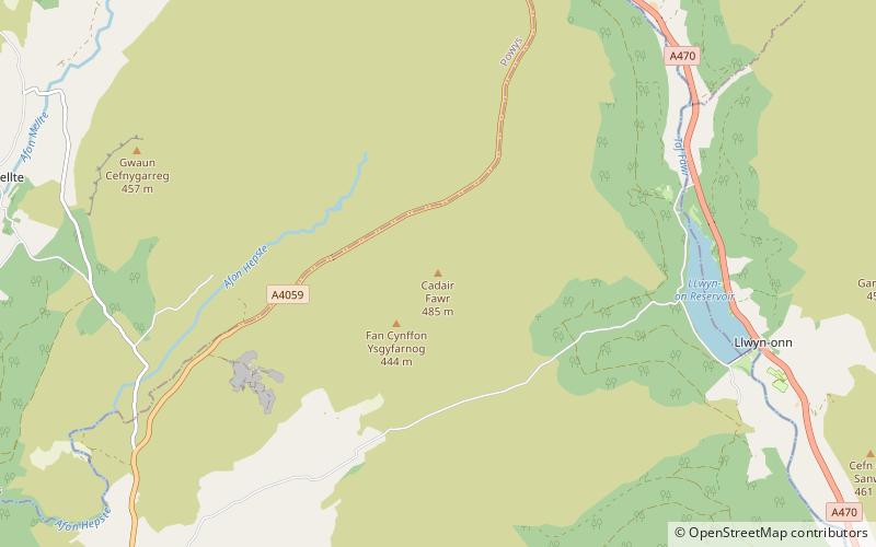
85 min walk • Cadair Fawr is a hill in the northern corner of the county borough of Rhondda Cynon Taf, Wales. It lies within the Brecon Beacons National Park and Fforest Fawr Geopark. The 485m high summit at OS grid ref SN 978123 is marked by a trig point.
