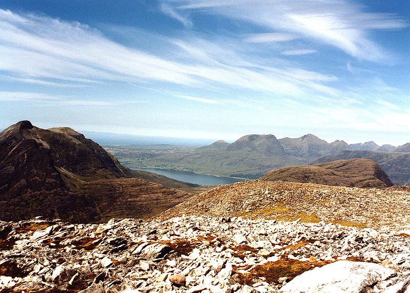
An Ruadh-stac

Gallery (2)
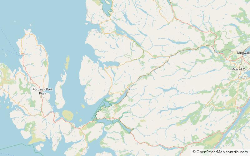
Map
Map
Gallery
Facts and practical information
An Ruadh-stac is a Scottish mountain situated in the Wester Ross region of the Highland council area. It is located 26 km north east of Kyle of Lochalsh. ()
Elevation: 2927 ftProminence: 1096 ftCoordinates: 57°28'32"N, 5°28'5"W
Location
Scotland
ContactAdd
Social media
Add
Day trips


