Fuar Tholl
Map

Gallery

Facts and practical information
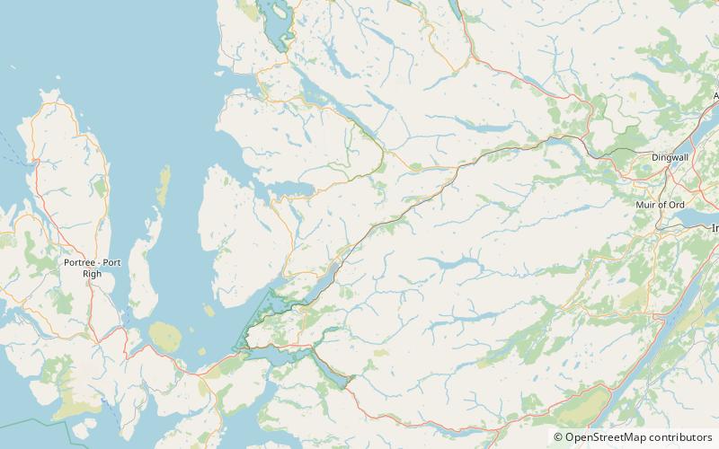
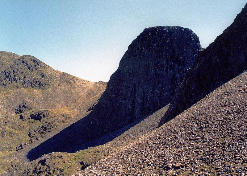
Fuar Tholl is a mountain in the highlands of Scotland. The mountain is situated in the Coulin deer forest 21 km SW of Achnasheen in the Wester Ross region of the Highland council area. ()
Elevation: 2976 ftCoordinates: 57°29'7"N, 5°22'45"W
Location
Scotland
ContactAdd
Social media
Add
Day trips
Fuar Tholl – popular in the area (distance from the attraction)
Nearby attractions include: Liathach, Bidein a' Choire Sheasgaich, An Ruadh-stac, Loch Dùghaill.


