Bourne End
Map

Map

Facts and practical information
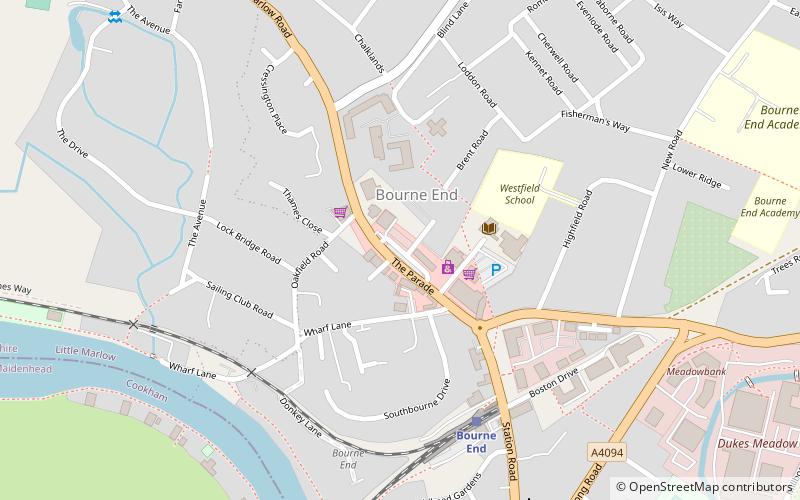
Bourne End is a village mostly in the parish of Wooburn, but partly in that of Little Marlow in Buckinghamshire, England. It is about five miles south-east of High Wycombe and three miles east of Marlow, near the boundary with Berkshire and close to where the Buckinghamshire River Wye empties into the Thames. ()
Location
England
ContactAdd
Social media
Add
Day trips
Bourne End – popular in the area (distance from the attraction)
Nearby attractions include: Cookham Reach Sailing Club, Hedsor House, Bourne End Railway Bridge, Cookham Bridge.


