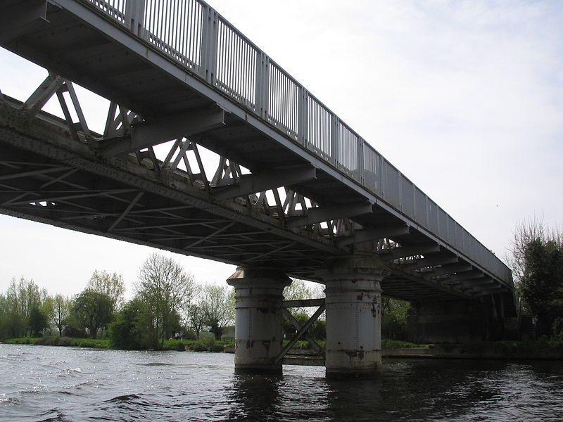
Bourne End Railway Bridge

Gallery (2)
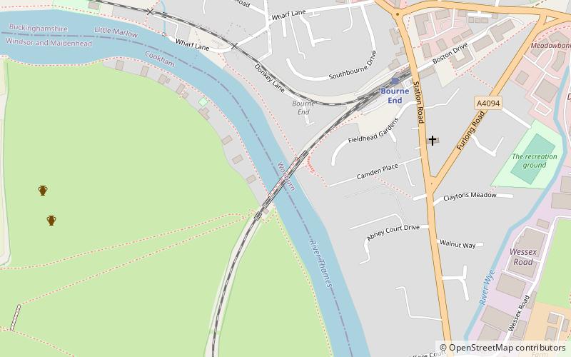
Map
Map
Gallery
Facts and practical information
Bourne End Railway Bridge is a railway bridge carrying the Marlow Branch Line, and a footpath over the River Thames in Bourne End, Buckinghamshire, England. It crosses the Thames on the reach between Cookham Lock and Marlow Lock. ()
Opened: 1895 (131 years ago)Height: 15 ftCoordinates: 51°34'30"N, 0°42'51"W
Day trips


