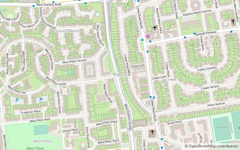
Pilton, Edinburgh

Map
Facts and practical information
Pilton is a residential area of northern Edinburgh, Scotland. It is to the north of Ferry Road, immediately east of Muirhouse, and to the west and south of Granton. ()
Coordinates: 55°58'25"N, 3°14'26"W
Address
PiltonEdinburgh
ContactAdd
Social media
Add
Day trips
Pilton – popular in the area (distance from the attraction)
Nearby attractions include: The Grange Club, Inverleith House, Royal Botanic Garden, Fettes College.
Frequently Asked Questions (FAQ)
Which popular attractions are close to Pilton?
Nearby attractions include Granton Garden, Edinburgh (18 min walk), Granton, Edinburgh (18 min walk), Muirhouse, Edinburgh (18 min walk), Drylaw, Edinburgh (19 min walk).
How to get to Pilton by public transport?
The nearest stations to Pilton:
Bus
Bus
- Boswall Parkway • Lines: 47 (3 min walk)
- Royston Mains Crescent • Lines: 47 (6 min walk)


