Comely Bank, Edinburgh
Map
Gallery
Facts and practical information
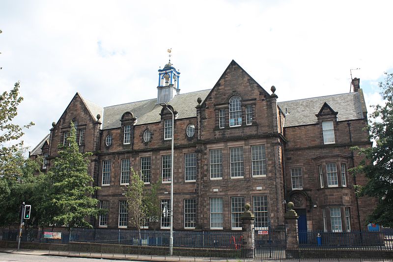
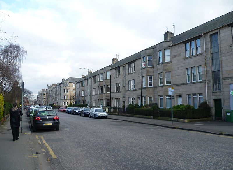
Comely Bank is an area of Edinburgh, the capital of Scotland. It lies southwest of Royal Botanic Garden and is situated between Stockbridge and Craigleith. It is bound on its northernmost point by Carrington Road and on its southernmost point by Learmonth Terrace. The area is covered by Stockbridge and Inverleith Community Council. ()
Coordinates: 55°57'33"N, 3°13'20"W
Address
Comely BankEdinburgh
ContactAdd
Social media
Add
Day trips
Comely Bank – popular in the area (distance from the attraction)
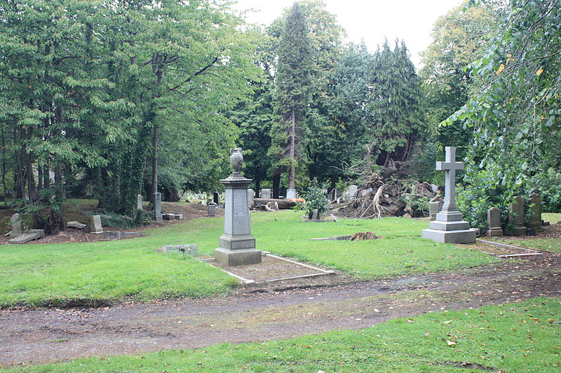
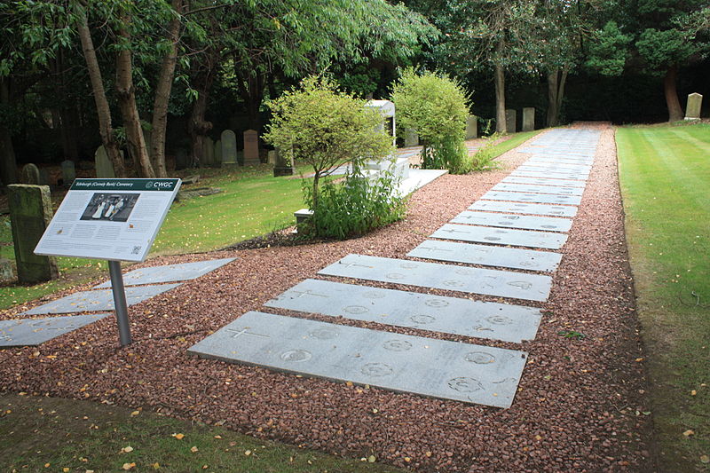
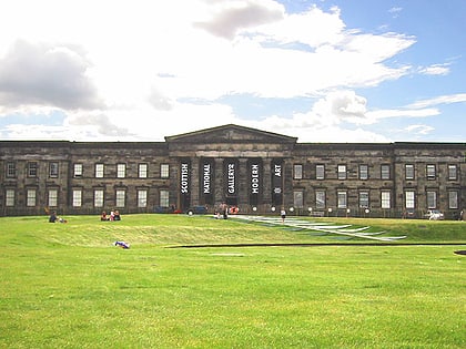
Nearby attractions include: Scottish National Gallery of Modern Art, The Grange Club, Church of St John the Evangelist, Dean Cemetery.
Frequently Asked Questions (FAQ)
Which popular attractions are close to Comely Bank?
Nearby attractions include Dean Cemetery, Edinburgh (9 min walk), Stockbridge, Edinburgh (10 min walk), Craigleith, Edinburgh (10 min walk), Fettes College, Edinburgh (10 min walk).
How to get to Comely Bank by public transport?
The nearest stations to Comely Bank:
Bus
Tram
Train
Bus
- Learmonth Grove • Lines: 29 (2 min walk)
- Flora Stevenson School • Lines: 29, 37, 47 (3 min walk)
Tram
- West End • Lines: Edinburgh Trams Eastbound, Edinburgh Trams Westbound (22 min walk)
- Haymarket • Lines: Edinburgh Trams Eastbound, Edinburgh Trams Westbound (24 min walk)
Train
- Haymarket (25 min walk)


