Stob a' Choire Odhair
#1503 among destinations in the United Kingdom


Facts and practical information
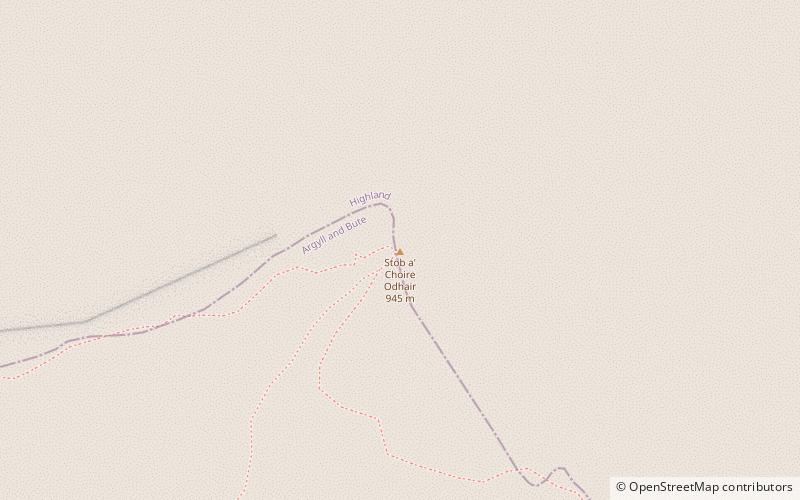
Stob a' Choire Odhair is a Scottish mountain situated eight kilometres north west of Bridge of Orchy on the border of the Argyll and Bute and Highland council areas. ()
ScotlandUnited Kingdom
Stob a' Choire Odhair – popular in the area (distance from the attraction)
Nearby attractions include: Buachaille Etive Mòr, Glencoe Ski area, Stob Ghabhar, Beinn Mhic Chasgaig.
 Climbing
Buachaille Etive Mòr
143 min walk • Buachaille Etive Mòr, an iconic mountain located in the Highlands of Scotland, is a revered climbing spot that commands the respect and admiration of mountaineers from around the world. Known colloquially as "The Buachaille," this pyramidal peak forms part of the...
 Winter sport, Ski area
Glencoe Ski area
104 min walk • Nestled within the breathtaking landscapes of the Scottish Highlands, the Glencoe Ski Area stands as Scotland's oldest ski destination and a magnet for snow sports enthusiasts. Established in 1956, this ski area is renowned for its rugged natural beauty and offers a...
 Nature, Natural attraction, Mountain
Stob Ghabhar
44 min walk • Stob Ghabhar is a Scottish mountain nine kilometres north west of Bridge of Orchy. It is part of the Black Mount group of mountains and stands on the border of the Argyll and Bute and Highland council areas.
 Mountain
Beinn Mhic Chasgaig, Ben Nevis and Glen Coe National Scenic Area
88 min walk • Beinn Mhic Chasgaig is a mountain in the Grampian Mountains of Scotland. It lies near the head of Glen Etive in Highland. A steep and craggy peak, it is surrounded by high Munros and provides a very steep and challenging climb to its summit.
 Mountain
Stob Coir' an Albannaich, Ben Nevis and Glen Coe National Scenic Area
142 min walk • Stob Coir' an Albannaich is a mountain in the Grampian Mountains of Scotland. It lies on the border of Argyll and Bute and the Highlands area, south of Glen Etive. The mountain makes for a fine traverse. The closest village is Taynuilt to the south.
 Nature, Natural attraction, Mountain
Meall a' Bhùiridh
70 min walk • Meall a' Bhùiridh is a mountain on the edge of Rannoch Moor in the Highlands of Scotland. It lies near the top of Glen Coe and Glen Etive, overlooking the Kings House Hotel inn and the A82 road. The Glencoe Ski area is located on the northern slopes of the peak.
 Mountain
Meall nan Eun, Ben Nevis and Glen Coe National Scenic Area
104 min walk • Meall nan Eun is a mountain in the Grampian Mountains of Scotland. It is located east of Glen Etive in Argyll and Bute. A dome like mountain with a rounded top but steep sides, it has a summit plateau.
 Nature, Natural attraction, Mountain
Buachaille Etive Beag
172 min walk • Buachaille Etive Beag, is a mountain located between Glen Coe and Glen Etive, on the edge of Rannoch Moor in the Scottish Highlands.
 Nature, Natural attraction, Mountain
Beinn Dorain
168 min walk • Beinn Dorain, is a mountain in the Bridge of Orchy hills of Argyll and Bute, Scotland. It is the subject of Duncan Ban MacIntyre's best known Gaelic poem, Moladh Beinn Dòbhrainn; MacIntyre had spent his youth and had worked as a gamekeeper in these parts.
 Forts and castles
Achallader Castle
106 min walk • Achallader Castle is a ruined 16th-century tower house under the shadow of Beinn Achaladair, about 3.5 miles north of Bridge of Orchy, Argyll and Bute, Scotland.
 Lake
LakeLoch Dochard, Ben Nevis and Glen Coe National Scenic Area
95 min walk • Loch Dochard is an upland freshwater loch lying approximately 6 km west of Bridge of Orchy in Argyll and Bute, Scottish Highlands. The loch has an irregular shape with a perimeter of 3 km. It is approximately 1.06 km long, has an average depth of 3.7 m and is 13 m at its deepest.
