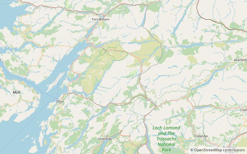
Loch Dochard, Ben Nevis and Glen Coe National Scenic Area
Map

Map

Facts and practical information
Loch Dochard is an upland freshwater loch lying approximately 6 km west of Bridge of Orchy in Argyll and Bute, Scottish Highlands. The loch has an irregular shape with a perimeter of 3 km. It is approximately 1.06 km long, has an average depth of 3.7 m and is 13 m at its deepest. The loch was surveyed on 18 May 1903 by Sir John Murray and later charted as part of his Bathymetrical Survey of Fresh-Water Lochs of Scotland 1897-1909. ()
Elevation: 732 ft a.s.l.Coordinates: 56°32'9"N, 4°54'31"W
Address
Ben Nevis and Glen Coe National Scenic Area
ContactAdd
Social media
Add
Day trips
Loch Dochard – popular in the area (distance from the attraction)
Nearby attractions include: Stob Ghabhar, Beinn Mhic Chasgaig, Stob Dubh, Glas Bheinn Mhòr.


