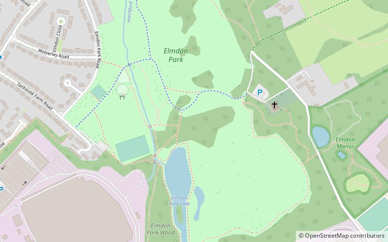
Elmdon Park, Solihull
Map

Map

Facts and practical information
Elmdon Park is a park and local nature reserve in Elmdon, Solihull, West Midlands. It was established in 1944 when the house and grounds of the derelict Elmdon Hall were bought up by the then Solihull Urban District Council. The house was used by the Home Guard during the war years, but the building subsequently became derelict, suffering from a rotten staircase and roof, and was demolished in 1956. ()
Elevation: 371 ft a.s.l.Coordinates: 52°26'32"N, 1°45'59"W
Day trips
Elmdon Park – popular in the area (distance from the attraction)
Nearby attractions include: St Nicholas' Church, St Giles' Church, Hobs Moat Library, Damson Park.
Frequently Asked Questions (FAQ)
Which popular attractions are close to Elmdon Park?
Nearby attractions include St Nicholas' Church, Birmingham (4 min walk), Hobs Moat Library, Solihull (22 min walk).
How to get to Elmdon Park by public transport?
The nearest stations to Elmdon Park:
Bus
Bus
- Old Lode Lane / Hatchford Brook • Lines: X2 (14 min walk)
- Windsor Drive • Lines: X2 (15 min walk)


