Rectory Junction Viaduct, Nottingham
Map

Gallery

Facts and practical information
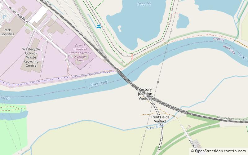
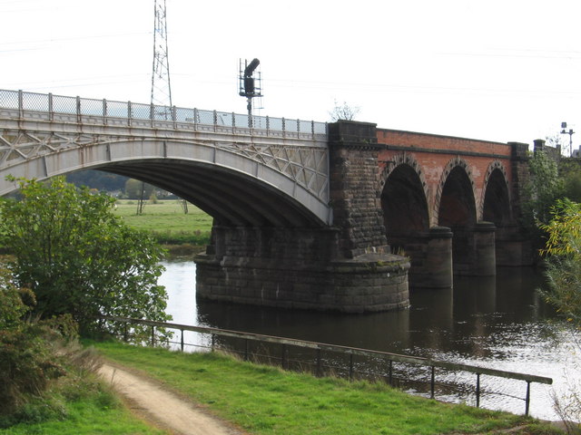
Rectory Junction Viaduct, also known as the Radcliffe Viaduct, crosses the River Trent between Netherfield and Radcliffe on Trent near Nottingham. It is a Grade II listed building. ()
Opened: 1850 (176 years ago)Coordinates: 52°57'4"N, 1°3'15"W
Address
Nottingham
ContactAdd
Social media
Add
Day trips
Rectory Junction Viaduct – popular in the area (distance from the attraction)
Nearby attractions include: Holme Pierrepont Hall, St Mary's Church, St Luke's Church, St. Edmund's Church.
Frequently Asked Questions (FAQ)
Which popular attractions are close to Rectory Junction Viaduct?
Nearby attractions include St Mary's Church, Nottingham (16 min walk), Radcliffe-on-Trent, Nottingham (16 min walk), Holme Pierrepont Hall, Nottingham (18 min walk), St. Edmund's Church, Nottingham (20 min walk).
How to get to Rectory Junction Viaduct by public transport?
The nearest stations to Rectory Junction Viaduct:
Bus
Train
Bus
- The Green • Lines: Rushcliffe Villager (13 min walk)
- Yew Tree Close • Lines: Rushcliffe Villager (13 min walk)
Train
- Radcliffe (19 min walk)
- Netherfield (33 min walk)


