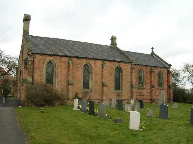
St Luke's Church, Nottingham

Gallery (2)
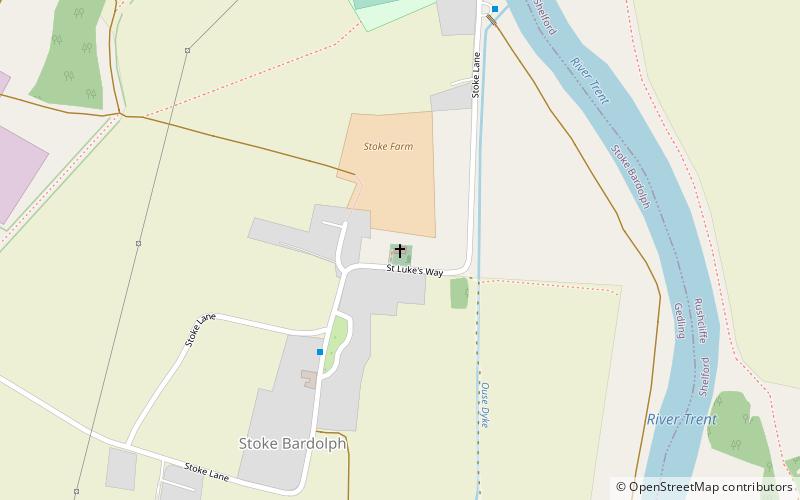
Map
Map
Gallery
Facts and practical information
St Luke's Church, Stoke Bardolph is a parish church in the Church of England in Stoke Bardolph. ()
Coordinates: 52°58'5"N, 1°2'20"W
Getting there by public transportation
Public transportation stops near this location
- Bus
- Train
 Bus
Bus
- Calculate routeBurton Joyce 27 min walk
- Calculate routeBurden Lane 28 min walk
- Calculate routeSt Helens Grove 29 min walk
- Calculate routeWater Lane Farm 31 min walk
- Calculate routeHaddon Way 32 min walk
Day trips


Frequently Asked Questions (FAQ)
How to get to St Luke's Church by public transport?
The nearest stations to St Luke's Church:
Train
Bus
Train
- Burton Joyce (27 min walk)
Bus
- Burden Lane • Lines: Rushcliffe Villager (28 min walk)
- St Helens Grove • Lines: 100, 26 (29 min walk)