Stony Cove Pike

Gallery (1)
Map
Map
Facts and practical information
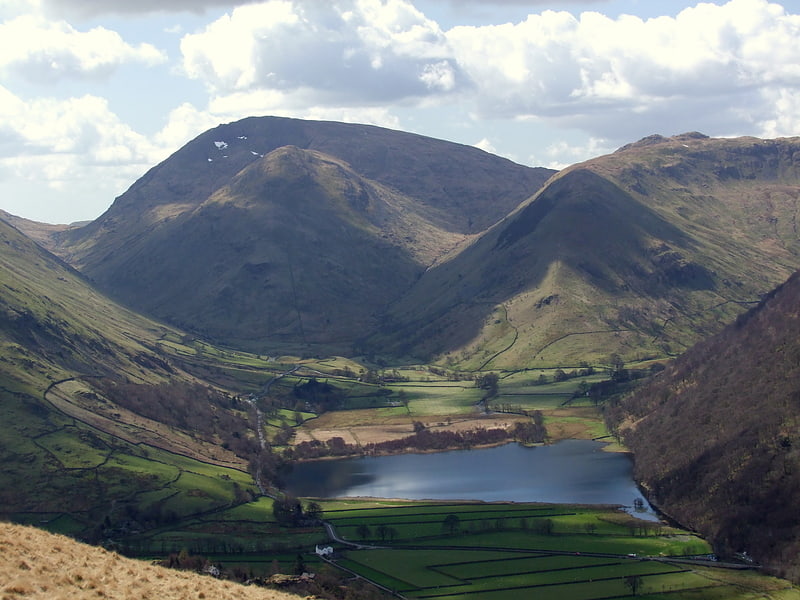
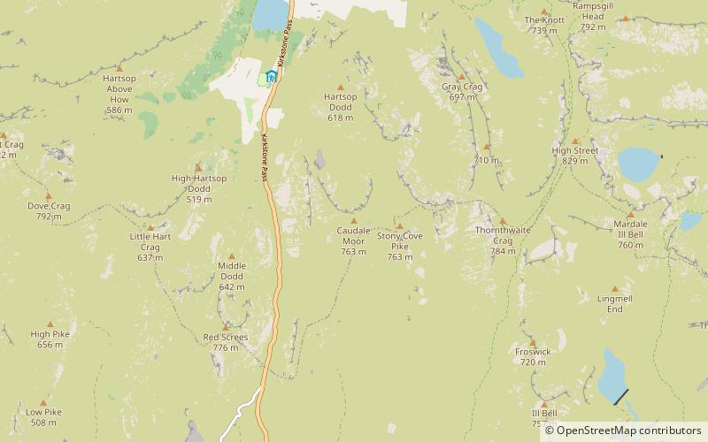
Stony Cove Pike is a fell in the Far Eastern part of the English Lake District. It stands on the other side of the Kirkstone Pass from Red Screes, and is on the end of a ridge coming down from High Street. It is separated from its neighbours by the deep col of Threshthwaite Mouth, so is a Marilyn – the sixteenth highest in the Lake District. ()
Location
England
ContactAdd
Social media
Add
Day trips