Thornthwaite Crag, Ambleside

Gallery (1)
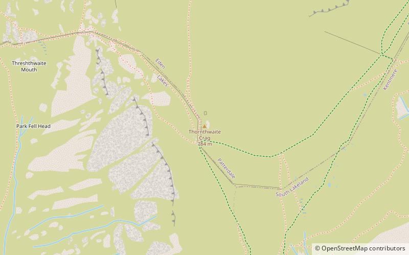
Map
Map
Facts and practical information
Thornthwaite Crag is a fell in the English Lake District, standing to the west of Haweswater Reservoir. It is a focal point of the Far Eastern Fells, standing at the head of several valleys. ()
Elevation: 2572 ftProminence: 98 ftCoordinates: 54°28'57"N, 2°52'44"W
Address
Ambleside
ContactAdd
Social media
Add
Day trips


