Shardlow Hall, Shardlow
Map

Map

Facts and practical information
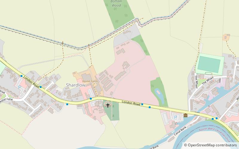
Shardlow Hall is a 17th-century former country house at Shardlow, Derbyshire now in use as commercial offices. It is a Grade II* listed building which is officially listed on the Buildings at Risk Register. ()
Coordinates: 52°52'12"N, 1°21'0"W
Address
Shardlow
ContactAdd
Social media
Add
Day trips
Shardlow Hall – popular in the area (distance from the attraction)
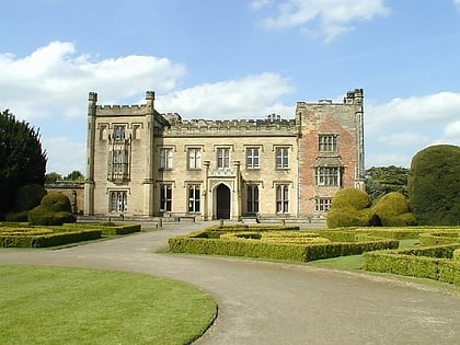
Nearby attractions include: Donington Park, Elvaston Castle, St James' Church, All Saints' Church.
Frequently Asked Questions (FAQ)
Which popular attractions are close to Shardlow Hall?
Nearby attractions include St James' Church, Shardlow (3 min walk), Cavendish Bridge, Shardlow (17 min walk).
How to get to Shardlow Hall by public transport?
The nearest stations to Shardlow Hall:
Bus
Bus
- London Road • Lines: SkyLink (4 min walk)
- Shakespeare Inn • Lines: SkyLink (5 min walk)


