All Saints' Church, Shardlow
Map

Map

Facts and practical information
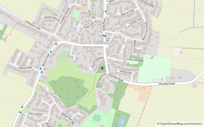
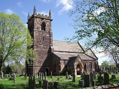
All Saints’ Church, Aston upon Trent is a Grade I listed parish church in the Church of England in Aston-on-Trent, Derbyshire. ()
Coordinates: 52°51'37"N, 1°23'7"W
Day trips
All Saints' Church – popular in the area (distance from the attraction)
Nearby attractions include: Donington Park, Donnington park, Church of St Mary and St Hardulph, Elvaston Castle.
Frequently Asked Questions (FAQ)
How to get to All Saints' Church by public transport?
The nearest stations to All Saints' Church:
Bus
Bus
- Glebe Farm • Lines: SkyLink (29 min walk)
- Cheal Close • Lines: SkyLink (30 min walk)


