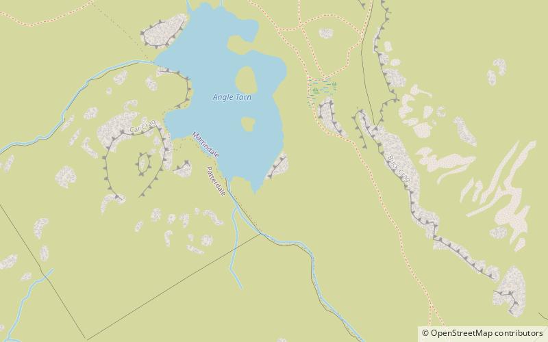
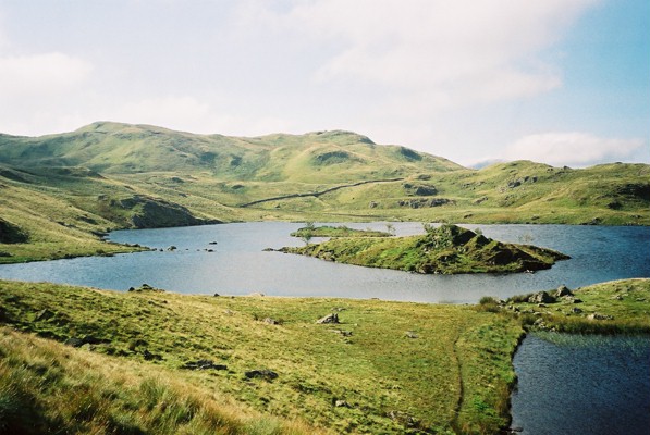
Angle Tarn

Gallery (2)
Map
Map
Gallery
Facts and practical information
Angle Tarn is a tarn in Cumbria, England, within the Lake District National Park, about a mile north-east of Hartsop. Located at an altitude of 479 m, the lake has an area of 5.9 hectares, measures 385 by 260 m, with a maximum depth of 9 m. The lake is very distinctive in that it resembles a fish hook in shape. It contains two rocky islets and a small broken peninsula. It is located on the Angletarn Pikes, which are named after it. ()
Elevation: 1578 ft a.s.l.Coordinates: 54°31'11"N, 2°54'2"W
Location
England
ContactAdd
Social media
Add
Day trips


