Castlefield Congregational Chapel, Manchester
Map

Map

Facts and practical information
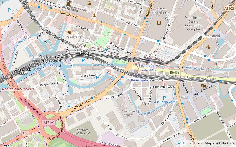
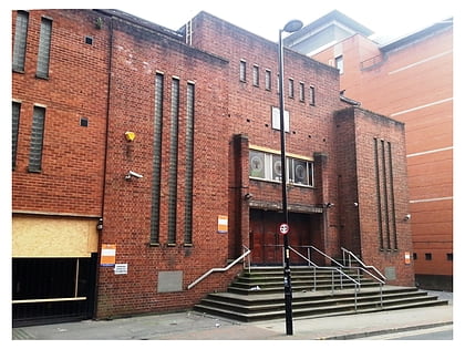
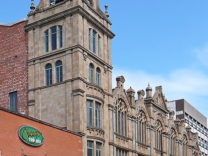
Castlefield Congregational Chapel is a building located at 378 Deansgate, Manchester, England. The building originally opened as a Congregational chapel in 1858, and was designed by the local architect Edward Walters. It has been designated by English Heritage as a Grade II listed building. It is located in Castlefield, an Urban Heritage Park. ()
Completed: 1858 (168 years ago)Coordinates: 53°28'27"N, 2°15'9"W
Address
City CentreManchester
ContactAdd
Social media
Add
Day trips
Castlefield Congregational Chapel – popular in the area (distance from the attraction)
Nearby attractions include: Deansgate, Museum of Science and Industry, The Briton's Protection, Quay Street.
Frequently Asked Questions (FAQ)
Which popular attractions are close to Castlefield Congregational Chapel?
Nearby attractions include Castlefield Gallery, Manchester (2 min walk), Owen Street, Manchester (3 min walk), Mamucium, Manchester (3 min walk), Castlefield, Manchester (4 min walk).
How to get to Castlefield Congregational Chapel by public transport?
The nearest stations to Castlefield Congregational Chapel:
Train
Bus
Tram
Train
- Deansgate (2 min walk)
- Manchester Oxford Road (11 min walk)
Bus
- Deansgate Station • Lines: 2, 2 (peak) (2 min walk)
- Liverpool Road/Barton St • Lines: 33 (4 min walk)
Tram
- Deansgate-Castlefield • Lines: Airp, Altr, Asht, Bury, Dean, Eccl, EDid, Mcuk, Picc, Roch, Shaw, Vict (3 min walk)
- St. Peter's Square • Lines: Airp, Altr, Asht, Bury, Eccl, EDid, Mcuk, Picc, Roch, Shaw, Vict (13 min walk)

 Metrolink
 Metrolink / Rail


