Noar Hill, South Downs National Park

Gallery (3)
Map
Map
Gallery
Facts and practical information
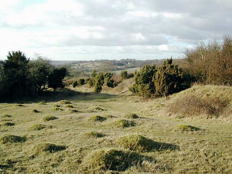
Noar Hill is a 63-hectare biological Site of Special Scientific Interest south of Selborne in Hampshire. It is a Nature Conservation Review site, Grade 2, and part of East Hampshire Hangers Special Area of Conservation. An area of 20 hectares is a nature reserve managed by the Hampshire and Isle of Wight Wildlife Trust. ()
Coordinates: 51°4'30"N, 0°55'60"W
Address
South Downs National Park
ContactAdd
Social media
Add
Day trips