Hangers Way, Alton
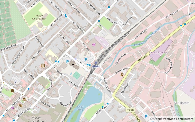
Map
Facts and practical information
Hangers Way is a 21-mile-long-distance footpath through Hampshire, England from Alton railway station to Queen Elizabeth Country Park where it meets the South Downs Way National Trail. ()
Length: 21 miCoordinates: 51°9'7"N, 0°58'1"W
Address
Alton
ContactAdd
Social media
Add
Day trips


Frequently Asked Questions (FAQ)
Which popular attractions are close to Hangers Way?
Nearby attractions include Curtis Museum, Alton (9 min walk), Allen Gallery, Alton (9 min walk), Church of St Lawrence, Alton (10 min walk), Alton Town Hall, Alton (14 min walk).