Cam Loch

Gallery (1)
Map
Map
Facts and practical information
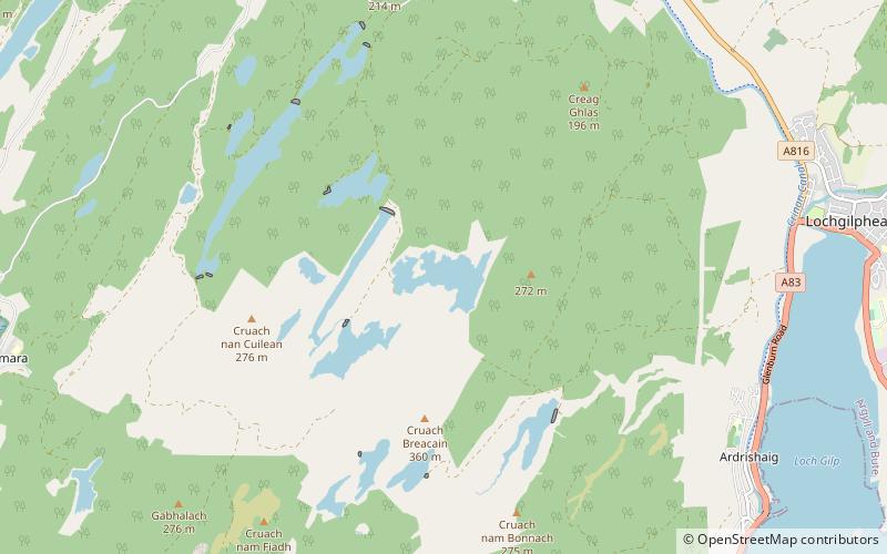
Cam Loch is one of a number of water supply sources for the Crinan Canal. The impounding reservoir lies to the south of the canal and about 3 kilometres west of Lochgilphead. It has an earthwork dam 8.5 metres high, with records showing that construction was before 1860. ()
Elevation: 768 ft a.s.l.Coordinates: 56°1'57"N, 5°29'47"W
Location
Scotland
ContactAdd
Social media
Add
Day trips


