Eilean Loain
#5723 among destinations in the United Kingdom
![Eilean Loain location map](https://tzmedia.b-cdn.net/media/images/static-maps/gb/56_0091_-5_60197.jpg)
Facts and practical information
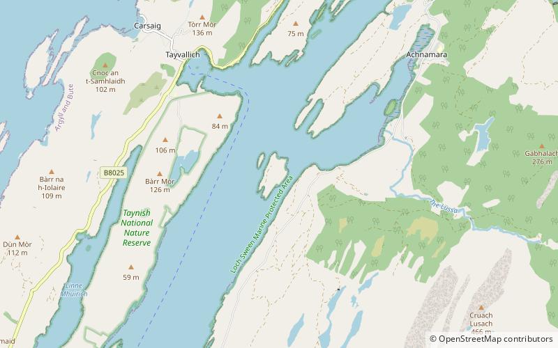
Eilean Loain is a small island in Loch Sween and one of the Inner Hebrides of Scotland. ()
ScotlandUnited Kingdom
Eilean Loain plan & book
Unleash the traveler in you — discover the cheapest flight deals, find the perfect hotel or hostel nearby, and search for the best car rental prices. Travel at your own pace to discover new places and enjoy your journey.
Eilean Loain – popular in the area (distance from the attraction)
Nearby attractions include: Dunadd, Keills Chapel, Castle Sween, Loch Sween.
7.1 miNEArchaeological siteDunadd, Kilmartin
182 min walk • Dunadd is a hillfort in Argyll and Bute, Scotland, dating from the Iron Age and early medieval period and is believed to be the capital of the ancient kingdom of Dál Riata.
5 miSWChurch, Romanesque architectureKeills Chapel, Tayvallich
129 min walk • Keills Chapel is a small chapel located in the west Highlands, Scotland, near the village of Tayvallich, Knapdale. The chapel dates from the 11th century and is in the care of Historic Scotland as is Kilmory Knap Chapel on the opposite shore of Loch Sween.
4.9 miSWCastle ruins from the 12th centuryCastle Sween
125 min walk • Castle Sween, also known as Caisteal Suibhne, and Caistéal Suibhne, is located on the eastern shore of Loch Sween, in Knapdale, south of the forestry village of Achnamara on the west coast of Argyll, Scotland.
3.8 miSWProtected areaLoch Sween, Taynish Biosphere Reserve
97 min walk • Loch Sween is a sea loch located near Lochgilphead, Argyll and Bute, Scotland. Castle Sween is located on the southern shore towards the seaward end of the loch.
6.1 miNECanalCrinan Canal
155 min walk • The Crinan Canal between Crinan and Ardrishaig in Argyll and Bute in the west of Scotland is operated by Scottish Canals. The canal, which opened in 1801, takes its name from the village of Crinan at its western end.
4.4 miENature, Natural attraction, LakeCam Loch
112 min walk • Cam Loch is one of a number of water supply sources for the Crinan Canal. The impounding reservoir lies to the south of the canal and about 3 kilometres west of Lochgilphead.
5.5 miNENature, Natural attraction, LakeLoch A' Bharain, Crinan, Argyll
140 min walk • Loch A' Bharain is an impounding reservoir which sits directly on the north bank of the Crinan Canal beside lock No.9, 1.5 kilometres west of Cairnbaan, and is one of a number of reservoirs supplying water to the canal. The earthfill dam is 5.6 metres high and was constructed in...