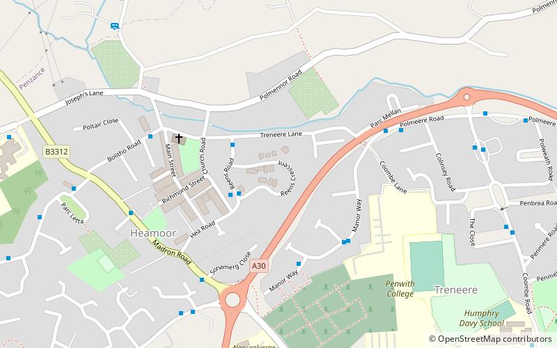
Treneere, Penzance

Map
Facts and practical information
Treneere is a residential council estate on the outskirts of Penzance, Cornwall. It was built in the 1930s in an effort to clear inner city slums, meaning the majority of residents have been poor for generations. Most of the housing within this area is owned and operated by Penwith Housing Association. Treneere falls within the Penzance East Ward of Cornwall Council. ()
Coordinates: 50°7'41"N, 5°32'53"W
Address
Penzance
ContactAdd
Social media
Add
Day trips
Treneere – popular in the area (distance from the attraction)
Nearby attractions include: Madron Well, Morrab Gardens, St Mary's Church, Penlee House.
Frequently Asked Questions (FAQ)
Which popular attractions are close to Treneere?
Nearby attractions include Lescudjack Hill Fort, Penzance (18 min walk), St Maddern's Church, Newlyn (20 min walk), Market Building, Penzance (21 min walk), Castle Horneck, Newlyn (21 min walk).
How to get to Treneere by public transport?
The nearest stations to Treneere:
Bus
Train
Bus
- West Cornwall Hospital • Lines: 8 (14 min walk)
- First and Last • Lines: 5 (19 min walk)
Train
- Penzance (21 min walk)


