Mynydd Bedwellte
#3632 among destinations in the United Kingdom

Facts and practical information
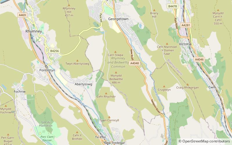
Mynydd Bedwellte is the name given to the broad ridge of high ground between the Rhymney Valley and the Sirhowy Valley in the Valleys region of South Wales. It straddles the boundary of the unitary areas of Caerphilly and Blaenau Gwent. ()
WalesUnited Kingdom
Mynydd Bedwellte – popular in the area (distance from the attraction)
Nearby attractions include: Pen-y-fan Pond, Guardian Sculpture, Bedwellty House and Park, St Illtyd's Church.
 Park
ParkPen-y-fan Pond, Blackwood
119 min walk • Pen-y-fan Pond is a man-made reservoir in South Wales built around 1794-6 as part of the engineering works for the Crumlin Arm of the Monmouthshire Canal. The reservoir was used to maintain the water level in the canal.
 Monuments and statues
Guardian Sculpture
127 min walk • The Guardian is a 20 m tall statue overlooking Parc Arael Griffin, the landscaped former Six Bells Colliery site, in the South Wales mining town of Abertillery, Blaenau Gwent. It was designed and created by artist Sebastien Boyesen.
 Park, History museum, Museum
Bedwellty House and Park, Tredegar
41 min walk • Bedwellty House is a Grade II-listed house and gardens in Tredegar, in the Sirhowy Valley in south-east Wales. It was built in the early 19th century on the site of an earlier building and subsequently enlarged into its present form by mid-century.
 Cemetery
St Illtyd's Church
132 min walk • St Illtyd's Church is a deconsecrated church in Llanhilleth, Blaenau Gwent, Wales. A Grade II* listed building, it is the oldest standing building in the county borough. The use of the site for worship dates back to pre-Norman times, with references to the church in a poem written in the 9th or 10th century.
 Nature, Natural attraction, Mountain
Mynydd Cilfach-yr-encil
113 min walk • Mynydd Cilfach-yr-encil attains a height of 445m at OS grid reference SO 079033 making it the high point of the broad ridge of high ground between Taff Vale and Cwm Bargod in the Valleys region of South Wales.
 51°43'48"N • 3°8'2"W
Abertillery & District Museum, Abertillery
119 min walk • Specialty museum, Museum
 Nature, Natural attraction, Valley
Rhymney Valley
86 min walk • The Rhymney Valley is one of the South Wales valleys, with the Rhymney River forming the border between the historic counties of Glamorgan and Monmouthshire. Between 1974 and 1996 a Rhymney Valley local government district also existed.
 Church
St John's Church, Merthyr Tydfil
128 min walk • St John's Church is a defunct Grade II listed church in the village of Dowlais, near Merthyr Tydfil in Wales. The church was built in 1827 for local ironworks manager Sir John Josiah Guest, at a cost of £3000. It was gradually completely rebuilt later in the century, in a Gothic style, finishing with the main nave and aisle in 1893/4.
 Tower
TowerNantyglo Round Towers
99 min walk • Nantyglo Round Towers are located at Roundhouse Farm, Nantyglo, near Brynmawr in the borough of Blaenau Gwent in the South Wales Valleys.
 Nature, Natural attraction, Mountain
Cefn y Brithdir
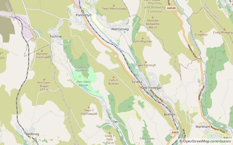
43 min walk • Cefn y Brithdir is the name given to the broad ridge of high ground between the Rhymney Valley and Cwm Darran in the Valleys region of South Wales. It lies within the unitary area of Caerphilly.
 Nature, Natural attraction, Mountain
Mynydd Carn-y-cefn
78 min walk • Mynydd Carn-y-cefn is the name given to the broad ridge of high ground between the Ebbw Vale and the valley of the Ebbw Fach in the Valleys region of South Wales. It lies within the unitary area of Blaenau Gwent, formerly Monmouthshire.