Pen-y-fan Pond, Blackwood

Gallery (2)
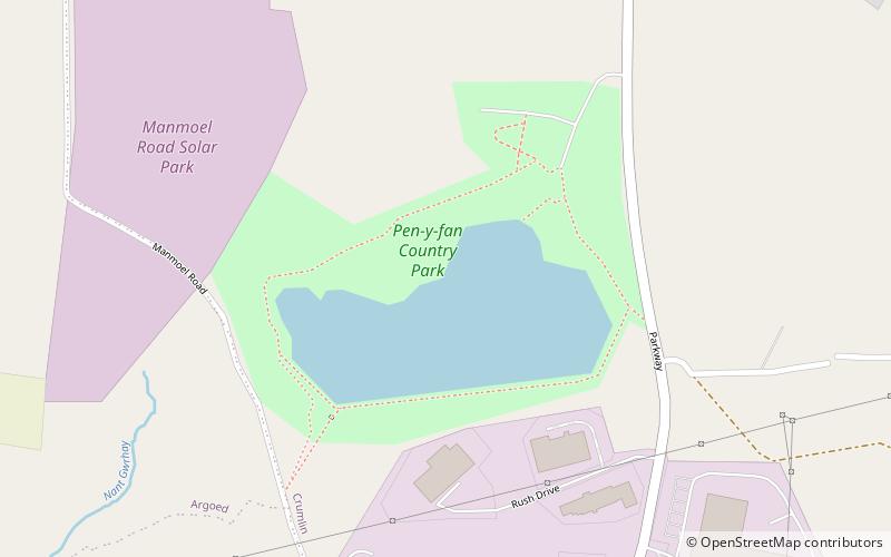
Map
Map
Gallery
Facts and practical information
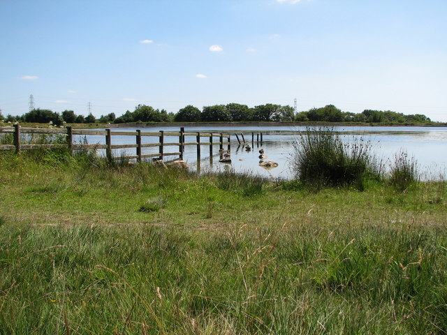
Pen-y-fan Pond is a man-made reservoir in South Wales built around 1794-6 as part of the engineering works for the Crumlin Arm of the Monmouthshire Canal. The reservoir was used to maintain the water level in the canal. ()
Elevation: 994 ft a.s.l.Coordinates: 51°41'54"N, 3°9'50"W
Address
Blackwood
ContactAdd
Social media
Add
Day trips